
- elevation 1,688 ft (515 m) Length 455 km | - elevation 154 ft (47 m) | |
 | ||
Sources Susulatna Hills, Sunshine Mountains | ||
The Nowitna River is a 250-mile (400 km) tributary of the Yukon River in the U.S. state of Alaska. The river flows northeast from the Kuskokwim Mountains through Nowitna National Wildlife Refuge and enters the larger river 38 miles (61 km) northeast of Ruby and southwest of Tanana. Major tributaries include the Titna, Big Mud, Little Mud, Lost, and Sulatna rivers.
Contents
Map of Nowitna River, Alaska, USA
In 1980, the 225 miles (362 km) of the river within the wildlife refuge were designated "wild" and added to the National Wild and Scenic Rivers System. The designation means that most of the Nowitna is unpolluted, free-flowing, and generally inaccessible except by trail.
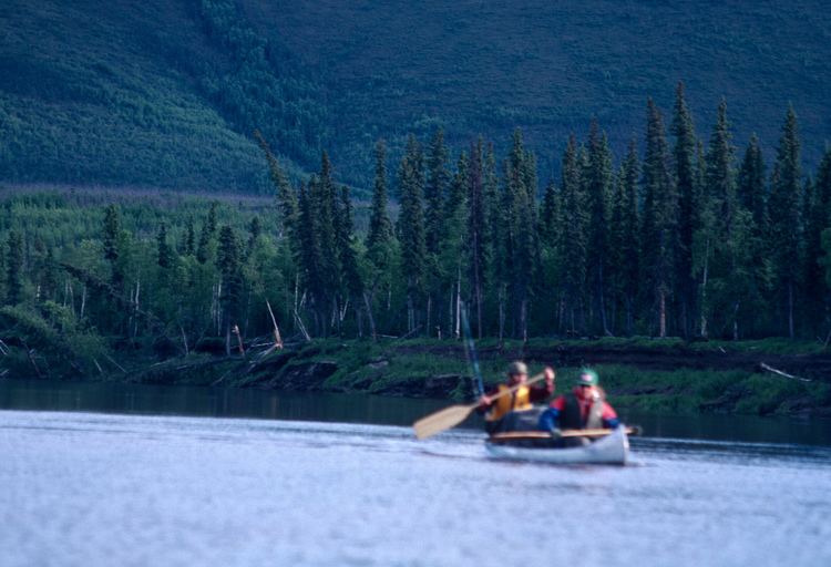
Boating
It is possible to run the Nowitna in many kinds of boats, including hard-shell, folding, or inflatable canoes and kayaks or inflatable rafts. Most of the river is slow-moving and meandering, rated Class I (easy) on the International Scale of River Difficulty. The exception occurs in Nowitna Canyon between Mastodon Creek and Big Mud River along the middle reaches of the Nowitna. This segment includes Class II (medium) rapids.
Dangers include black bears as well as rapids. Navigating can be difficult at times because of upriver winds, especially on the lower reaches.