
Area 37,796 km² | Time zone BRT (UTC−4) Local time Monday 9:42 AM | |
 | ||
Weather 26°C, Wind N at 5 km/h, 85% Humidity | ||
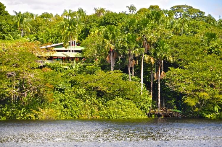
Novo Airão is a municipality located in the state of Amazonas in northern Brazil on the Rio Negro River about 180 km upstream of Manaus. Its population was 15,915 (2007) and its area is 37,771 km². The town is reachable both by river and road.
Contents
Map of Novo Air%C3%A3o - State of Amazonas, Brazil
History
New Airão began when the Jesuits founded a settlement at the mouth of the Jaú River in 1668 named Santo Elias de Jau. The region was inhabited by Indians Waimiri-Atroari, Crichanã, Carabinari and Jauaperi. Everything indicates that the mission village of Santo Elias de Jau was the second or third nucleus of settlement organized by the Portuguese in Amazonian lands. In 1759, the village was elevated to a town with the name Airão by Joaquim de Melo Póvoas, first governor of the captaincy of São José do Rio Negro. Later, the district around Airão became part of Manaus and when it was dismembered in 1938, became New Airão.
Conservation
The municipality contains part of the Anavilhanas National Park, a 350,018 hectares (864,910 acres) conservation unit that was originally an ecological station created in 1981. It holds about 24% of the Rio Negro Left Bank Environmental Protection Area, a 611,008 hectares (1,509,830 acres) sustainable use conservation area created in 1995. It also contains the 146,028 hectares (360,840 acres) Rio Negro State Park North Section, created in 1995. To the south of the state park the municipality contains about 60% of the Rio Negro Right Bank Environmental Protection Area, a 1,140,990 hectares (2,819,400 acres) sustainable use conservation unit that controls use of an area of Amazon rainforest along the Rio Negro above the junction with the Solimões River. It also contains about 16% of the Rio Negro Sustainable Development Reserve, a 103,086 hectares (254,730 acres) sustainable use conservation unit created in 2008 in an effort to stop deforestation in the area, which is threatened due to its proximity to Manaus.
Tourism
People go to Novo Airão to access to the surrounding area and to feed and/or swim with the dolphins. The latter facility is offered at a small floating café down at the harbour. It is possible to pay some boatmen at the port for trips to Anavilhanas, Velho Airão (the ruins of the old town, and nearby petroglyphs), and perhaps the Jaú River (this one may require permission from the federal environment agency IBAMA). The boatmen should belong to the Associacão de Operadores de Turismo em Novo Airão (ATUNA), and be flying the ATUNA flag on their boat, as they are the only ones allowed to access the Anavilhanas.
Because of the current bus and boat schedules, it is difficult to make a day trip to Novo Airão, and one should plan to spend at least a night there. There are a few pousadas in the town, of variable quality. Usually, those from ANATUR (Novo Airão Tourism Association) offer fine service and infrastructure.
Buses leave from Manaus coach terminal early in the morning and boats from the Port of Manaus in the evening.". It is possible to get there in two and a half hours with a taxi-cab from SINDITAXI. Departures are from Cacau Pirera (the dock in front of Manaus), and prices are five reais higher than buses, which takes a six hours journey.