
Length 101 km | ||
 | ||
North end: | ||
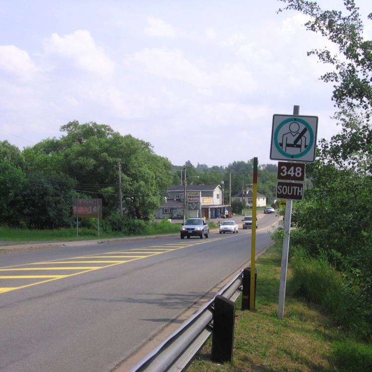
Route 348 is a collector road in the Canadian province of Nova Scotia.
Contents
Map of NS-348, Nova Scotia, Canada
It is located in the northeastern part of the province and connects Little Harbour at Route 289 with Melrose at Trunk 7.
In the town of Trenton it runs on "North Main Street," "Main Street" and "Trenton Road." In the neighbouring town of New Glasgow it runs on "North Provost Street," "Provost Street" and "Jury Street" (southbound), "Archimedes Street" (northbound), and the "East River Road."
Communities
References
Nova Scotia Route 348 Wikipedia(Text) CC BY-SA