
Length 37 km | ||
 | ||
East end: Blue Rocks Road in Garden Lots | ||
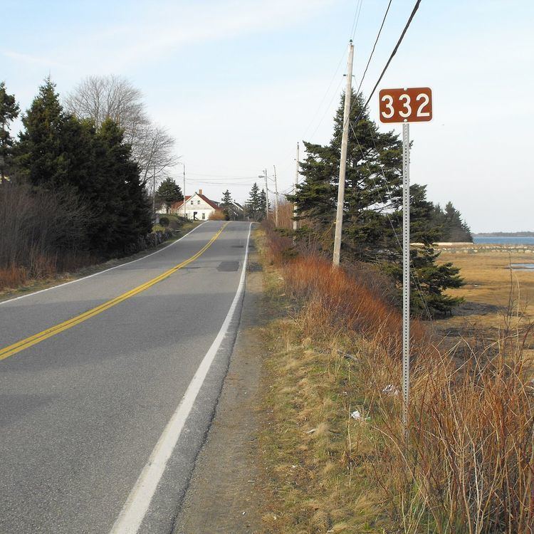
Route 332 is a collector road in the Canadian province of Nova Scotia. It is located in Lunenburg County, connecting Bridgewater at Trunk 3 with Lunenburg at Trunk 3. It is commonly referred to residences as Riverport Road as the village appears on all major road signage in the county.
Contents
Map of NS-332, Nova Scotia, Canada
Communities
Trails
The Riverport & District Community Development Committee submitted a recommended name to the Lunenburg Active Transportation Plan to the Municipality of the District of Lunenburg (MODL). It was to recognizes the important role played by Riverport on the LaHave River over the past two hundred and fifty years. Most major infrastructure in the area, e.g., the fire department; school, post office, electric utility, fish plant and churches. Highway 332, has traditionally been known to local residences as the Riverport Road. This goes back as far as 1870's with the creation of the Ritcey Cove Circuit which was renamed to the Riverport District.
Parks
History
The entirety of Collector Highway 332 was once designated as Trunk Highway 32.