Suvarna Garge (Editor)

Nova Scotia Route 331

Updated on
Edit
Like
Comment
Share on FacebookTweet on TwitterShare on LinkedInShare on Reddit
Length
  
57 km

Province
  
Nova Scotia

Nova Scotia Route 331

South end:
  
Hwy 103 in Mill Village

North end:
  
Route 325 in Bridgewater

Counties
  
Region of Queens Municipality, Lunenburg County

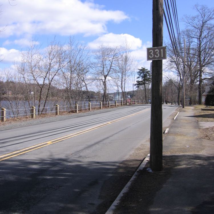
Route 331 is a collector road in the Canadian province of Nova Scotia.

Contents

Map of NS-331, Nova Scotia, Canada

It is located on the province's South Shore, connecting East Medway at Highway 103 with Bridgewater at Route 325.

Communities

  • East Port Medway
  • Vogler's Cove
  • Cherry Hill
  • Broad Cove
  • Petite Rivière
  • Crescent Beach
  • West Dublin
  • Dublin Shore
  • LaHave
  • Pentz
  • West LaHave
  • Pleasantville
  • Conquerall Bank
  • Bridgewater
  • Parks

  • Rissers Beach Provincial Park
  • Bush Island Provincial Park
  • History

    The entirety of Collector Highway 331 was once designated as Trunk Highway 31.

    References

    Nova Scotia Route 331 Wikipedia