
Length 12 km | ||
 | ||
South end: Route 349 in Herring Cove | ||
Nova Scotia Route 253 is a collector road in the Canadian province of Nova Scotia.
Contents
Map of NS-253, Halifax, NS, Canada
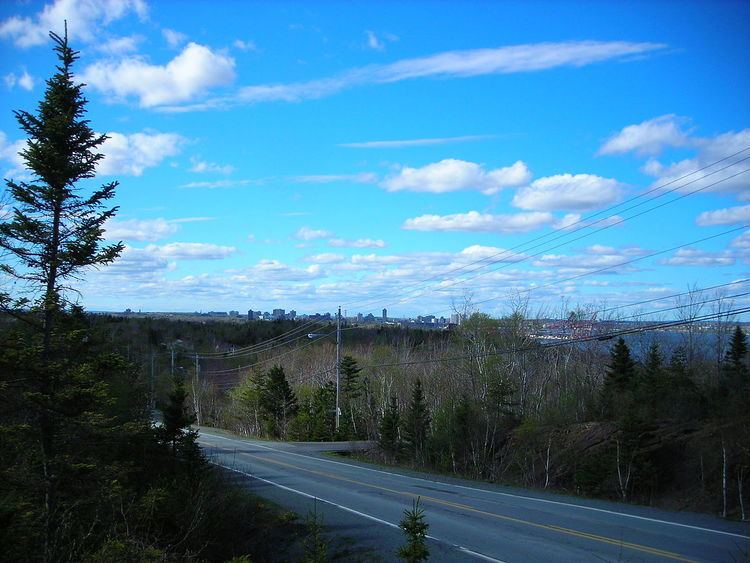
It is located in the Halifax Regional Municipality and connects Armdale with Herring Cove. The route generally parallels the eastern coast of the Chebucto Peninsula.
Between the junction with Route 349 in Armdale and Fortress Drive in Ferguson's Cove, it is known as Purcell's Cove Road. Afterwards and until Village Road in Herring Cove, it is known as John Brackett Drive. The last stretch in Herring Cove is known as Hebridean Drive.
Communities
Provincial
Federal
Municipal
Yacht clubs
References
Nova Scotia Route 253 Wikipedia(Text) CC BY-SA