
Length 64 km | ||
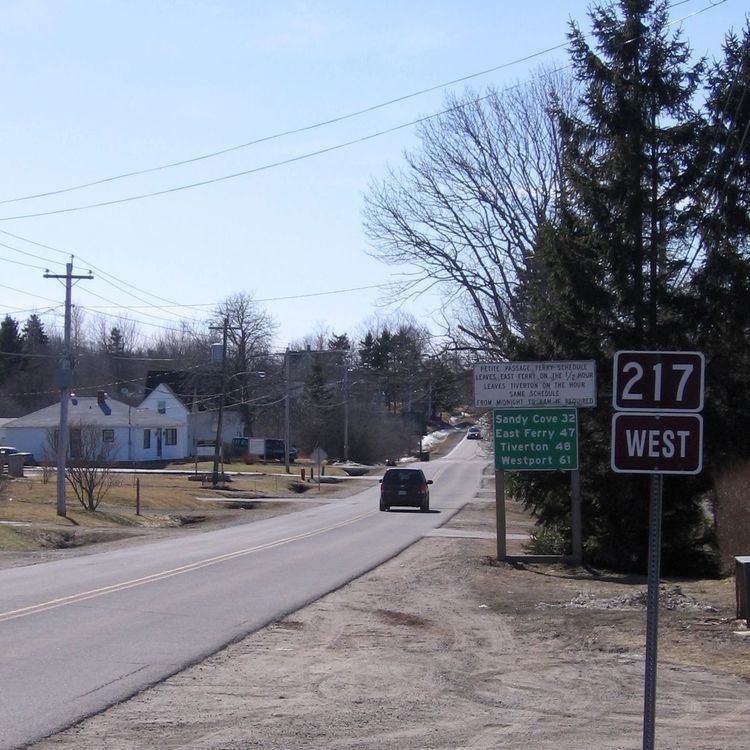 | ||
Route 217 is a collector road in the Canadian province of Nova Scotia.
Contents
Map of NS-217, Digby, NS B0V 1A0, Canada
It is located in Digby County and connects Westport, Brier Island with Digby at Route 303.
It traverses the Digby Neck peninsula, as well as Long Island and includes short two ferry links, East Ferry to Tiverton and Freeport to Westport.
The road contains many scenic views and is marketed as the "Digby Neck and Islands Scenic Drive" with custom road signs. In summer it is heavily traveled by tourists seeking whale watching tours at the end of Digby Neck.
The western terminus is a look-off in Westport beside the Joshua Slocum monument with a view of Grand Passage and the Peter Island Lighthouse.
Communities
Communities in italics are served by the route indirectly.
History
Highway 217 was formerly designated Trunk Highway 17.