
Country Brazil Area 10,072 km² | Time zone BRT-1 (UTC-4) Local time Monday 6:52 AM | |
 | ||
Weather 23°C, Wind SE at 3 km/h, 97% Humidity | ||
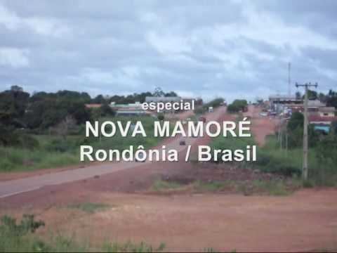
Nova Mamoré is a municipality located in the Brazilian state of Rondônia. As of 2015, the population of Nova Mamoré is 27,600 and its area is 10,072 km².
Contents
Map of Nova Mamor%C3%A9 - State of Rond%C3%B4nia, Brazil
Economy
The economy of Nova Mamoré is based on mainly agriculture and wood. Its main agriculture comes from the chestnut, cupuaçu, acerola, açaí, guava, mango, and pineapple plants. There are approximately 325,000 cattle in Nova Mamoré. In the 1970s and 80s, the town produced a large amount of gold, but the main mineral source now is water. There are around 27 factories, most of them producing timber.
Reserves
There are three protected areas for indigenous groups in the municipality: Terras Indígenas Igarapé Ribeirão, Reserva dos Karipunas and Terras Indígenas Laje Ninety-five percent of the area of Parque Estadual Guajará-Mirim ("Guajará-Mirim State Park") is located within Nova Mamoré; the remainder is in neighboring Guajará-Mirim. Nova Mamoré contains 27% of the 204,632 hectares (505,660 acres) Rio Ouro Preto Extractive Reserve, created in 1990. The municipality contains 13% of the 197,364 hectares (487,700 acres) Jaci Paraná Extractive Reserve, created in 1996.