
Elevation 171 m | Area 29.7 km² | |
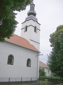 | ||
Nový Tekov (Hungarian: Újbars) is an old village and municipality in the Levice District in the Nitra Region of Slovakia.
Contents
Map of 935 33 Nov%C3%BD Tekov, Slovakia
History
In historical records the village was first mentioned in 1320.
Geography
The village lies at an altitude of 171 metres and covers an area of 29.701 km². It has a population of about 830 people.
Ethnicity
The village is approximately 85% Slovak and 15% Magyar.
Facilities
The village has a public library and football pitch. It also has its own birth registry.
References
Nový Tekov Wikipedia(Text) CC BY-SA