
 | ||
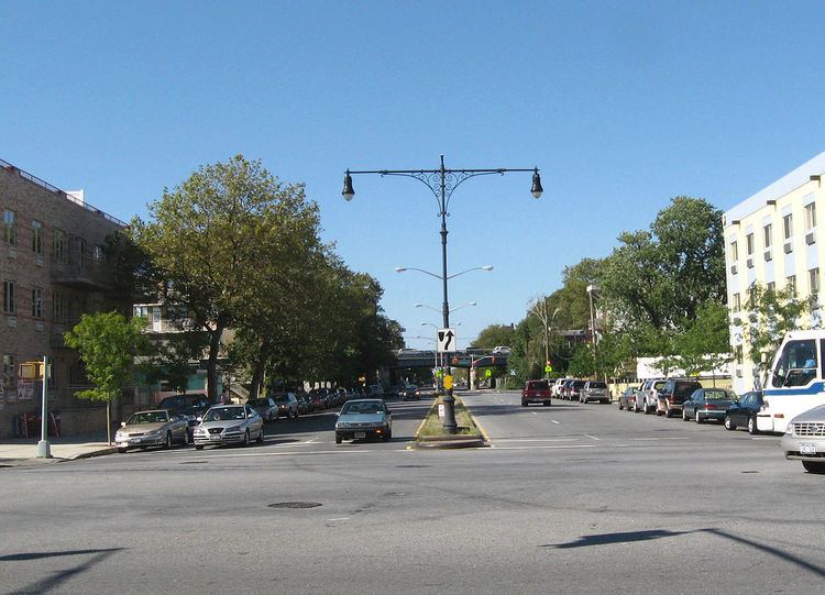
muninyc nostrand avenue fulton street bedford stuyvesant brooklyn 11216
Nostrand Avenue is a major street in Brooklyn, New York, that runs for eight miles (12.9 kilometers) north from Emmons Avenue in Sheepshead Bay to Flushing Avenue in Williamsburg, where it continues as Lee Avenue. It occupies the position of East 30th Street in the Brooklyn street grid. It is named after Gerret Noorstrandt whose family was one of the first families that settled in New Utrecht, Brooklyn when New York was still a Dutch Colony.
Contents
- muninyc nostrand avenue fulton street bedford stuyvesant brooklyn 11216
- Map of Nostrand Ave Brooklyn NY USA
- muninyc flatbush avenue nostrand avenue flatbush brooklyn 11210
- Description
- Public transportation
- References
Map of Nostrand Ave, Brooklyn, NY, USA
muninyc flatbush avenue nostrand avenue flatbush brooklyn 11210
Description
From Flushing Avenue to Farragut Road, Nostrand Avenue is a one-way two-lane street going southbound only. Between Kings Highway and Avenue X, it is a two-way street with four traffic lanes. South of Avenue X, the avenue is a very wide two-way divided road with six traffic lanes. The avenue, originally called Nostrand Lane, has been open since 1840.
In 2004, the 200th anniversary of Haiti's independence, Nostrand Avenue was co-named Toussaint Louverture Boulevard in honor of the Haitian revolutionary Toussaint Louverture (1743 – 1803).
Public transportation
The street is serviced by the following public transportation: