
Country United States County County of Kern Area 116.5 km² Area code 661 | State California City City of Bakersfield Zip code 93306 | |
 | ||
Neighborhoods of Northeast List
College Heights
Rio Bravo | ||
Northeast Bakersfield (commonly known as simply The Northeast) is the northeast region of Bakersfield, California. Starting south and traveling clockwise, it is roughly bounded by Edison Rd., Mt. Vernon Ave., the Kern River, and Alfred Harrell Hwy./Comanche Rd. Other boundaries are the city limits.
Contents
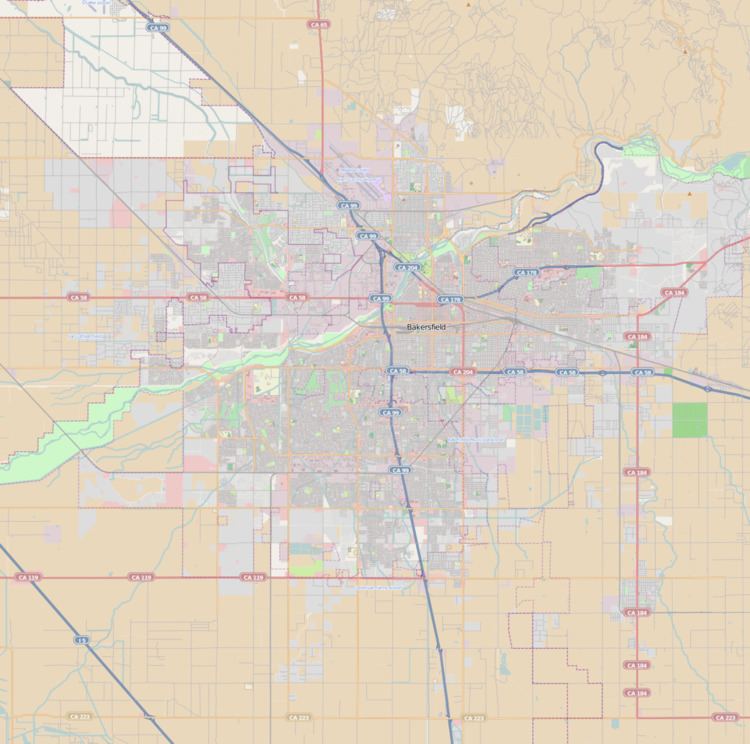
Map of East Bakersfield, CA 93305, USA
Overview
Growth in the northeast started prior to World War II and accelerated in the Post-War era through the late 1970s. In preparation of future growth, a large section of land, extending to Kern River Canyon, was incorporated into the city in 1977. However, by the 1960s, growth shifted primarily to the southwest, leaving much of the land undeveloped. The area started to see increased growth in the late 90’s, but has slowed in the late 2000s.
Some areas of northeast Bakersfield, particularly the Bakersfield Country Club and homes along Panorama Drive on the Bluffs, have historically been among the most affluent neighborhoods in Bakersfield. Overall however, the Northeast is predominantly middle and upper middle class. It includes East Hills Mall, the city's second indoor shopping mall, which has done poorly in the recent economic downturn. It also includes Bakersfield's community college, Bakersfield College, located in Northeast Bakersfield. Unlike most of Bakersfield, which sits on the flat valley floor floodplain, northeast Bakersfield is situated along rolling hills that formed a series of bluffs and are about 450 feet (137 m) higher in elevation than the rest of the city. The Panorama Bluffs provide views of the Kern River oilfields, Oildale and downtown Bakersfield.
College Heights
College Heights is almost exclusively a residential neighborhood. It is generally bounded by Panorama Drive, Fairfax Road, Columbus Avenue, and River Blvd. It is one of the oldest neighborhoods in the region, and it saw growth in the early to mid 50’s. The centerpiece of the neighborhood is Bakersfield College. That location for the college was constructed in 1956 (the college was founded in 1913).
Rio Bravo
Rio Bravo is a mixture of residential and commercial. It generally refers to the land in the valley east of Morning Dr. Although much of the land has been incorporated into the city, it is mostly rural. Given the size of the area, it is likely that more neighborhoods will develop within Rio Bravo.
A major attraction to the area is the Kern River County Park, a large recreation area which includes: Hart Park, California Living Museum (CALM), Lake Ming, and Kern River Golf Course. This is also the location for the Rio Bravo Country Club. There were also the Mesa Marin Raceway and Rio Bravo Resort, but both have closed.
In the foothills on the northern part of the neighborhood is an extensive network of trails. The trails are used for: hiking, equestrian, ATV’s, and dirt bikes. Although these trails exist, there is currently a lack of staging areas. As a result, people park their vehicles to the side of city roads to access them.