
- elevation 10 ft (3 m) | ||
 | ||
Similar Oregon Slough Railroad, Lotus Isle, Jantzen Beach Amusem, Burlington Northern Railroad, Kenton Hotel | ||
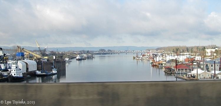
The North Portland Harbor is an Oregon waterway or channel in Multnomah County, specifically in Portland. An anabranch, about 5 miles (8 km) long, of the Columbia River, it separates Hayden and Tomahawk islands from the mainland. Flowing generally northwest, the channel rejoins the main stem slightly upstream of Kelley Point Park and the mouth of the Willamette River.
The Interstate Bridge carries Interstate 5 (I-5) over the channel, and farther downstream the Oregon Slough Railroad Bridge carries rail traffic. The BNSF Railway crosses North Portland Harbor over the rail bridge.
Terminal 6 of the Port of Portland lies along the mainland shore of the channel. Northeast Marine Drive runs roughly parallel to the channel for much of its length.
The official name registered with the United States Board on Geographic Names is North Portland Harbor, although historically other names have been applied. These include Oregon Slough and Hayden Slough.