
 | ||
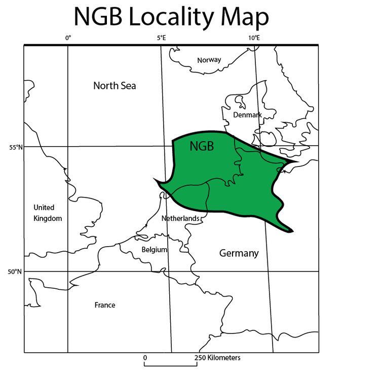
The North German Basin is a passive-active rift basin located in central and west Europe, lying within the southeastern most portions of the North Sea and the southwestern Baltic Sea and across terrestrial portions of northern Germany, Netherlands, and Poland. The North German Basin is a sub-basin of the Southern Permian Basin, that accounts for a composite of intra-continental basins composed of Permian to Cenozoic sediments, which have accumulated to thicknesses around 10–12 kilometres (6–7.5 mi). The complex evolution of the basin takes place from the Permian to the Cenozoic, and is largely influenced by multiple stages of rifting, subsidence, and salt tectonic events. The North German Basin also accounts for a significant amount of Western Europe's natural gas resources, including one of the worlds largest natural gas reservoir, the Groningen gas field.
Contents
Regional tectonic evolution
The regional tectonic evolution of the North German Basin coincides with of the evolution of the Southern Permian Basin, the basin across central and western Europe. From the late Neoproterozoic Era to Carboniferous Period, Europe underwent the Caledonian Orogeny and Variscan Orogeny. These crustal accretion events produced the present day regional lithosphere, and by the time of the post-orogenic collapse of the Variscan Orogeny the supercontinent Pangea had completely formed. After the formation of Pangea, much of the region underwent crustal instability and thus developing the extensive Permo-Carboniferous magmatic province. This magmatism led to the extrusion of abundant volcanic successions such as the Northeast German Basin, Northwest Polish Basin, and Oslo Rift, while also causing the formation of 70 rift basins throughout the Permian Basin. The regions most evolved and voluminous magmatism occurred within the North German Basin dating back to 297-302 Ma.
Initial rifting
The initiation of the Northern German Basin took place in the Late Carboniferous approximately 295-285 Ma (Million Years Ago) in association collapse of the Variscan Orogeny due to wrenching tectonics in the over-thickened crust in the northern foreland of the Variscan Orogeny. The initiation formed by crustal rifting and wrenching in addition to huge amounts of volcanism(>40,000 km3 ) and magmatism, can only be approximately dated due to the extensive (>250 Ma) poly-phased subsidence of the region. The most evident dating method has been done using Zircon ages revealed within fossilized shrimp, allowing for dating of sediments produced during the magmatic flare-up during the Permian. The wrench tectonics, magmatic inflation, and mantle lithosphere erosion took place gave a regional uplift allowing for an increase in crustal erosion.
Main phase of subsidence
20 million years post-rifting, the North German Basin experienced a rapid accumulation of sediments, >2,700 m (8,900 ft) of strata from the Upper Rotliegend Unit to the Bunter Unit, thus experiencing maximum thermal subsidence from the Late Permian to the Middle Triassic. This rapid burial of sediments lead to subsidence rates of 220 m per million years due to the drastic increase in crustal load. Another important influence of this subsidence is due to the thermal relaxation of the lithospheric magmatic inflation, thus allowing the basin to deepen with the accumulation of the sediment.
Secondary rifting
During the Triassic-Early Jurassic, 252 to 200 Ma, there was a phase of new north to south rifting events due to the break up of the super-continent Pangea caused W-E extension across the Northern German Basin. These extensions in the crust created the Triassic grabens such as the local the Gluckstadt Graben, while also initiating the salt tectonics seen in the region. This rifting event was then followed by another phase of subsidence due to sedimentary loading and lithospheric thermal relaxation.
Doming
During the Middle-Late Jurassic, the center of the North Sea underwent a doming acknowledged by the Middle Jurassic erosional unconformity, the erosion of >1,000 m (3,300 ft) of Upper Triassic and Lower Jurassic strata. The dome raised above sea level during the Middle Jurassic and began to deflate due to rifting in the Late Jurassic. Though the mechanism forming the North Sea Rift Dome is not particularly well understood, the development of the dome seems to be consistent with an active rift model having a broad-based (1,250 km or 780 mi diameter) plume head influencing the Late Jurassic rifting.
Tertiary rifting
In the Late Jurassic, the third rifting event took place in response to the North Sea doming event. Major extensional faulting and rifting began approximately 157-155 Ma allowing for the Zechstein evaporites to form a detachment between basement rocks and upper stratigraphy largely influencing the natural gas and oil formation seen across the North German Basin. Organic-rich mudstones from the Kimmeridge Clay Formation is the source of the majority of the North German Basin's hydrocarbons which was restricted from migrating upward by the Zechstein salt.
Inversion
In the Late Cretaceous, a significant phase of inversion took place due to the reactivation of strike-slip basement faults. Inversion of the region responded significantly to the orientation of compression, such that faults like the E-W Elbe Fault System was inverted 3–4 km (1.9–2.5 mi) while the N-S Grabens did not experience significant uplift.
Final subsidence
During the Cenozoic, the last phase of subsidence occurred. During the Oligocene to Miocene, many of the basement faults were reactivated by the strike-slip faults during the Late Cretaceous inversion. The reactivation of these basement faults triggered more halokinesis. Slight inversion due to the salt tectonics allowed for minor amounts of Miocene and Pliocene deposits, which were later buried by widespread delta and glacial deposits during the Quaternary, resulting in rapid subsidence.
Stratigraphy
The depositional history of the North German Basin is recorded within the stratigraphy sequence of sediments, which make up the basin. The poly-phase deposition of the basin can be broken down into strati-graphic units, each with their own distinct characteristics. The sedimentary basin was assembled above the Lower Paleozoic crystalline basement formed during the Caledonian Orogeny about 420-400 Ma.