
Country United States Time zone CST (UTC-6) Area 95.26 km² Population 408 (2010) | Established November 5, 1890 Elevation 114 m Local time Friday 11:03 AM | |
 | ||
ZIP codes 62871, 62930, 62934, 62979 Weather 9°C, Wind W at 23 km/h, 85% Humidity | ||
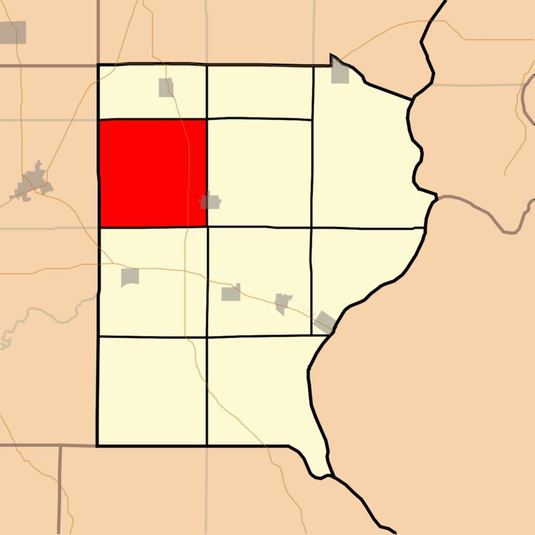
North Fork Township is one of ten townships in Gallatin County, Illinois, USA. As of the 2010 census, its population was 408 and it contained 204 housing units.
Contents
- Map of North Fork Township IL USA
- Geography
- Cities towns villages
- Unincorporated towns
- Cemeteries
- Major highways
- School districts
- Political districts
- References
Map of North Fork Township, IL, USA
Geography
According to the 2010 census, the township has a total area of 36.78 square miles (95.3 km2), of which 36.58 square miles (94.7 km2) (or 99.46%) is land and 0.2 square miles (0.52 km2) (or 0.54%) is water.
Cities, towns, villages
Unincorporated towns
(This list is based on USGS data and may include former settlements.)
Cemeteries
The township contains these six cemeteries: Campground, Garrett, Oak Grove Church, Saint Josephs, Union Chapel and Zion.
Major highways
School districts
Political districts
References
North Fork Township, Gallatin County, Illinois Wikipedia(Text) CC BY-SA