
Country India Headquarters Narela Nearest city Sonipat and Ghaziabad Area 59 km² | State Delhi Time zone IST (UTC+5:30) Lok Sabha constituency North Delhi Elevation 213 m | |
 | ||
Government body Municipal Corporation of Delhi Nearest cities Sonipat, Ghaziabad, Uttar Pradesh Points of interest Splash The Water Park, Just Chill Water & Fun Park, Coronation Park - Delhi, Sony Aquarium, Guru Tegh Bahadur Memorial Colleges and Universities Delhi Technological University, Swami Shraddhanand College, Guru Premsukh Memorial, Delhi Institute of Rural De | ||
North Delhi is an administrative district of the National Capital Territory of Delhi in India.
Contents
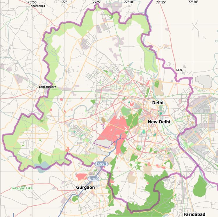
Map of North Delhi, Delhi
North Delhi is bounded by the Yamuna River on the east, and by the districts of North West Delhi to the north and west, West Delhi to the southwest, Central Delhi to the south, and North East Delhi to the east across the Yamuna.
North Delhi has a population of 779,788 (2001 census), and an area of 59 km², with a population density of 13,019 persons per km².
Administratively, the district is divided into three subdivisions, Sadar Bazar, Kotwali, and Civil Lines.
Demographics
According to the 2011 census North Delhi has a population of 883,418, roughly equal to the nation of Fiji or the US state of Delaware. This gives it a ranking of 468th in India (out of a total of 640). The district has a population density of 14,973 inhabitants per square kilometre (38,780/sq mi) . Its population growth rate over the decade 2001-2011 was 13.04%. North Delhi has a sex ratio of 871 females for every 1000 males, and a literacy rate of 86.81%. North Delhi Is Dominated by jats they Have 70 villages in North Delhi
Medical Establishments: Established in 1982 North Delhi Pathology Clinic an Accredited Reference Medical laboratory of national repute is situated in this area.