
Existed: 1999 – present Length 31.1 km | Constructed 1999 | |
 | ||
Counties | ||
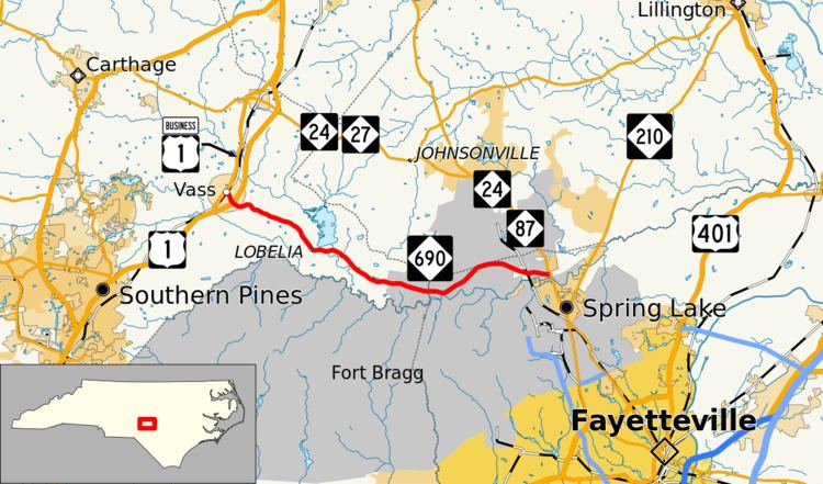
North Carolina Highway 690 (NC 690) is a primary state highway in the state of North Carolina. The highway runs east–west, connecting the cities of Vass and Spring Lake.
Contents
Map of NC-690, North Carolina, USA
Route description
NC 690 is a 19.3-mile (31.1 km) two-lane rural highway that begins in Vass and ends near Spring Lake. The highway passes through mostly forest and farmland, some of which within the confines of Fort Bragg, with the Woodlake private gated community just five miles (8.0 km) east of Vass.
History
Established in 1999 as a new primary route, it has not changed since then.
References
North Carolina Highway 690 Wikipedia(Text) CC BY-SA