
Maintained by DDOT South end D Street Major cities Washington, D.C. | Location Washington, D.C., U.S. | |
 | ||
Majorjunctions Massachusetts AvenueH Street US 50 (New York Avenue)Florida Avenue US 1 (Rhode Island Avenue)New Hampshire Avenue Other name North Capitol Street Northeast | ||
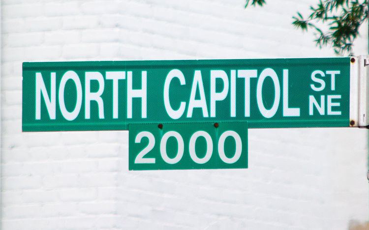
North Capitol Street is a street in Washington, D.C. that separates the Northwest and Northeast quadrants of the city.
Contents
- Map of North Capitol St NW Washington DC USA
- Route description
- Landmarks on North Capitol Street
- References
Map of North Capitol St NW, Washington, DC, USA
Route description
North Capitol Street begins at D Street in Lower Senate Park, between Louisiana and Delaware Avenues north of the United States Capitol. It continues in a straight line northward until it reaches Michigan Avenue, where it curves eastward and the westward around the Washington, D.C., VA Medical Center and the Armed Forces Retirement Home. For the 1.1 miles (1.8 km) between Irving Street and Clermont Drive, North Capitol Street is a limited-access road. North Capitol Street ceases to exist after Harewood Road. For 0.4 miles (0.64 km), it is named Clermont Drive. Beginning at Allison Street, Clermont Drive becomes Hawaii Avenue. Just after passing Buchanan Street, Hawaii Avenue turns back into North Capitol Street. North Capitol Street ceases to exist again at McDonald Place, and turns into Blair Road (which veers north-northeast). About 2,185 feet (666 m) due north of this transition, on Chillum Place just north of Kansas Avenue, North Capitol Street reappears. It continues to exist until it reaches Eastern Avenue, which marks the D.C.-Maryland border.