
Time zone CST (UTC-6) Area 65.63 km² Population 370 (2010) | Established November 2, 1852 Elevation 299 m Local time Wednesday 3:06 AM | |
 | ||
ZIP codes 61048, 61059, 61085, 61087, 61089 Weather 3°C, Wind E at 10 km/h, 93% Humidity | ||
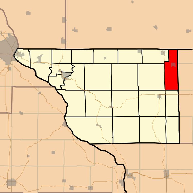
Nora Township is one of twenty-three townships in Jo Daviess County, Illinois, USA. As of the 2010 census, its population was 370 and it contained 168 housing units.
Contents
- Map of Nora Township IL USA
- Geography
- Cities towns villages
- Adjacent townships
- Cemeteries
- Major highways
- School districts
- Political districts
- References
Map of Nora Township, IL, USA
Geography
According to the 2010 census, the township has a total area of 25.34 square miles (65.6 km2), all land.
Cities, towns, villages
Adjacent townships
Cemeteries
The township contains these three cemeteries: East Chelsea, Nora and West Chelsea.
Major highways
School districts
Political districts
References
Nora Township, Jo Daviess County, Illinois Wikipedia(Text) CC BY-SA