
Country Thailand Time zone ICT (UTC+7) Area 720.2 km² Geocode 8021 | Seat Nopphitam Postal code 80160 Population 29,670 (2005) | |
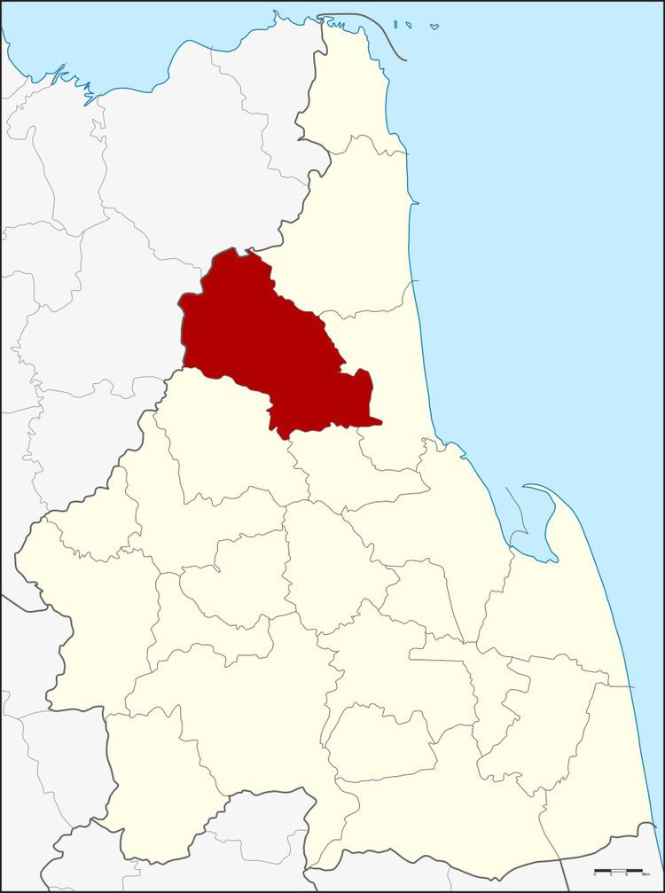 | ||
Province Nakhon Si Thammarat Province | ||
Nopphitam (Thai: นบพิตำ) is a district (amphoe) of Nakhon Si Thammarat Province, southern Thailand.
Contents
- Map of Nopphitam District Nakhon Si Thammarat 80160 Thailand
- History
- Geography
- Administration
- References
Map of Nopphitam District, Nakhon Si Thammarat 80160, Thailand
History
The district was created on 1 April 1995 by splitting off the four western tambon from Tha Sala district.
Following a decision of the Thai government on 15 May 2007, all of the 81 minor districts were to be upgraded to full districts. With publication in the Royal Gazette on 24 August, the upgrade became official.
Geography
Neighboring districts are (from the northeast clockwise) Sichon, Tha Sala, Phrom Khiri and Phipun of Nakhon Si Thammarat Province and Ban Na San and Kanchanadit of Surat Thani Province.
Nopphitam contains the northernmost part of the Khao Luang National Park, protecting a large part of the Nakhon Si Thammarat mountain range.
Administration
The district is divided into four sub-districts (tambon), which are further subdivided into 38 villages (muban). There are no municipal (thesaban) areas, and four tambon administrative organizations (TAO).