
Population 6,528 (2006 census) LGA(s) Shire of Noosa Federal Division(s) Wide Bay Postal code 4566 | Postcode(s) 4566 State electorate(s) Noosa Area 12.8 km² | |
 | ||
Location 4 km (2 mi) SW of Noosa Heads Weather 26°C, Wind NE at 10 km/h, 91% Humidity Points of interest Sunshine Coast - Queensland, Lake Weyba, Keyser Island Conserva, Noosa Ocean Rider, Weyba Creek Conserva | ||
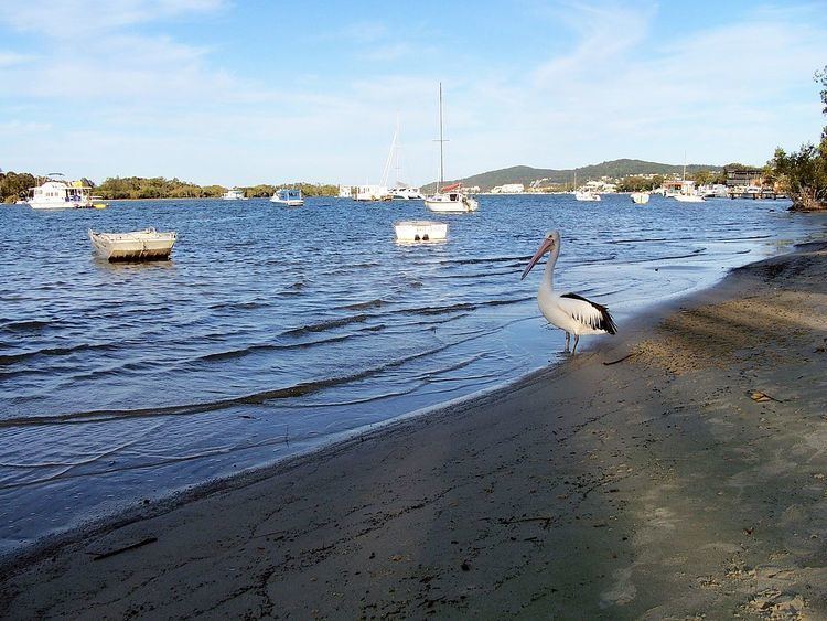
Noosaville is a suburb in Noosa, Queensland, Australia, within the local government area of Shire of Noosa (between 2008 and 2013 it was within Sunshine Coast Region).
Contents
Map of Noosaville QLD 4566, Australia
Geography
Noosaville includes Lake Weyba. "Weyba" is believed to mean "place of stingrays" or "place of flying squirrels". Noosaville also contains a development with canals called Noosa Waters. It is a thriving community which includes many holiday apartments, parklands, nature reserves and shopping facilities such as Noosa Civic, a major shopping centre which serves the Noosa district.
Heritage listings
Noosaville has a number of heritage-listed sites, including:
References
Noosaville, Queensland Wikipedia(Text) CC BY-SA