
Country Thailand Tambon 5 Postal code 20190 Population 23,609 (2015) Geocode 2003 | Seat Nong Yai Time zone THA (UTC+7) Area 397.5 km² Province Chonburi Province | |
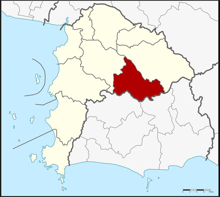 | ||
Nong Yai (Thai: หนองใหญ่; [nɔ̌ːŋ jàj]) is a district (amphoe) in the province Chonburi, Thailand.
Contents
Map of Nong Yai District, Chon Buri, Thailand
History
The minor district (King Amphoe) Nong Yai was created on December 1, 1975, when the three tambon Nong Yai, Khlong Phlu and Nong Suea Chang were split off from Ban Bueng district. It was upgraded to a full district on July 13, 1981.
Geography
Neighboring districts are (from the south clockwise) Wang Chan and Pluak Daeng of Rayong Province, Si Racha, Ban Bueng and Bo Thong of Chonburi Province.
Administration
The district is subdivided into 5 subdistricts (tambon), which are further subdivided into 24 villages (muban). Nong Yai is a township (thesaban tambon) which covers the whole tambon Nong Yai. There are further 4 Tambon administrative organizations (TAO).
References
Nong Yai District Wikipedia(Text) CC BY-SA