
Country Thailand Time zone THA (UTC+7) Area 420.2 km² Province Suphan Buri Province | Seat Nong Ya Sai Postal code 72240 Population 49,272 (2013) Geocode 7210 | |
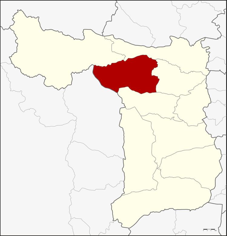 | ||
Nong Ya Sai (Thai: หนองหญ้าไซ; [nɔ̌ːŋ jâː sāj]) is a district (Amphoe) in the western part of Suphanburi Province, central Thailand.
Contents
- Map of Nong Ya Sai District Suphan Buri Thailand
- History
- Geography
- Central administration
- Local administration
- References
Map of Nong Ya Sai District, Suphan Buri, Thailand
History
The minor district (King Amphoe) was created on June 1, 1983, when the four tambon Nong Ya Sai, Nong Rathawat, Nong Pho and Chaeng Ngam were split off from Sam Chuk district. It was officially upgraded to a full district on May 21, 1990.
Geography
Neighboring districts are (from the north clockwise) Dan Chang, Doem Bang Nang Buat, Sam Chuk and Don Chedi of Suphanburi Province, and Lao Khwan of Kanchanaburi Province
Central administration
The district Nong Ya Sai is subdivided into 6 subdistrict (Tambon), which are further subdivided into 66 administrative villages (Muban).
Local administration
There is one subdistrict municipality (Thesaban Tambon) in the district:
There are 6 subdistrict administrative organizations (SAO) in the district: