
Country Thailand Time zone THA (UTC+7) Area 221.6 km² Province Phrae Province | Seat Nong Muang Khai Postal code 54170 Population 19,302 (2005) Geocode 5408 | |
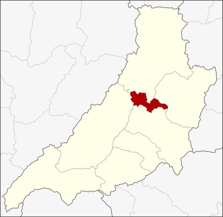 | ||
Nong Muang Khai (Thai: หนองม่วงไข่; [nɔ̌ːŋ mûaŋ kʰàj]) is a district (Amphoe) in the central part of Phrae Province, northern Thailand.
Contents
Map of Nong Muang Khai District, Phrae, Thailand
History
The minor district (King Amphoe) Nong Muang Khai was established on April 1, 1990 with the tambon Mae Kham Mi and Nong Muang Khai of Rong Kwang district and Wang Luang and Nam Rat of Song district. It was made a subordinate of Rong Kwang district. It was upgraded to a full district on September 7, 1995.
Geography
Neighboring districts are (from the north clockwise) Song, Rong Kwang, Mueang Phrae and Long.
Administration
The district is subdivided into 6 subdistricts (tambon), which are further subdivided into 34 villages (muban). Nong Muang Khai is a township (thesaban tambon) and covers most parts of tambon Nong Muang Khai. There are further 5 Tambon administrative organizations (TAO).