
Country Thailand Amphoe established 1996 Postal code 17100 Population 19,330 (2008) Geocode 1807 | Seat Nong Mamong Time zone THA (UTC+7) Area 291 km² Province Chai Nat Province | |
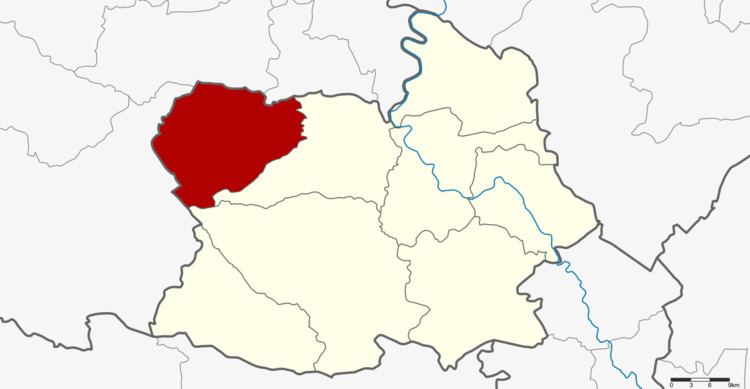 | ||
Nong Mamong (Thai: หนองมะโมง) is the northwesternmost district (Amphoe) of Chainat Province, central Thailand.
Contents
Map of Nong Mamong District, Chai Nat, Thailand
Geography
Neighboring districts are (from the east clockwise) Wat Sing and Hankha of Chainat Province, Ban Rai, Huai Khot, Nong Chang and Nong Khayang of Uthai Thani Province.
History
The minor district (King Amphoe) was established on July 15, 1996 with four tambon split off from Wat Sing district.
Following a decision of the Thai government on May 15, 2007, all of the 81 minor districts were to be upgraded to full districts. With the publishing in the Royal Gazette on August 24 the upgrade became official .
Administration
The district is subdivided into 4 subdistricts (tambon), which are further subdivided into 42 villages (muban). There are no municipal (thesaban) areas, and further 4 Tambon administrative organizations (TAO).