
Country Thailand Postal code 61130 Population 16,369 (2005) Geocode 6105 | Time zone THA (UTC+7) Area 347.8 km² Province Uthai Thani Province | |
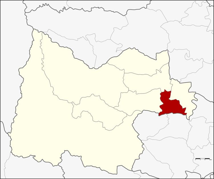 | ||
Nong Khayang (Thai: หนองขาหย่าง) is a district (Amphoe) of Uthai Thani Province, northern Thailand.
Contents
Map of Nong Khayang District, Uthai Thani, Thailand
Khayang (ขาหยั่ง) is a local instrument for irrigation.
History
Nong Luang (หนองหลวง) was an important border checkpoint since the Ayutthaya era. In 1917 when the government changed the district status Khwaeng to Amphoe like in other provinces, Nong Luang was a district of Uthai Thani Province. The following year the district office of Nong Luang was moved to Noen Po and the district renamed to Nong Khayang.
Geography
Neighboring districts are (from the west clockwise) Nong Chang, Thap Than, Mueang Uthai Thani of Uthai Thani Province, Wat Sing and Nong Mamong of Chainat Province.
Administration
The district is subdivided into 9 subdistricts (tambon), which are further subdivided into 53 villages (muban). Nong Khayang is a township (thesaban tambon) which covers parts of tambon Nong Khayang. There are further 5 Tambon administrative organizations (TAO).