
Country Thailand Postal code 18140 Province Saraburi Province | Time zone THA (UTC+7) Area 262.9 km² Geocode 1903 | |
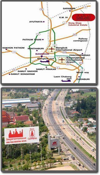 | ||
Nong Khae (Thai: หนองแค) is a district (Amphoe) in the southern part of Saraburi Province, central Thailand.
Contents
Map of Nong Khae District, Saraburi Province, Thailand
History
There were records that the district already existed in 1899.
Amphoe Nong Khae has the Na Roeng Khlong (canal) that connects to the Pa Sak River. The Ayutthaya kingdom army moved their troops by this canal for military purposes.
Recently there has been immigration of people from Lanna and Vientiane to this district.
Geography
Neighboring district are (from the north clockwise) Nong Saeng, Mueang Saraburi and Wihan Daeng of Saraburi Province, Nong Suea of Pathum Thani Province, and Wang Noi, Uthai and Phachi of Ayutthaya Province.
Administration
The district is subdivided into 18 subdistricts (tambon), which are further subdivided into 181 villages (muban). There are three municipal (thesaban) areas, and further 16 Tambon administrative organizations (TAO).