
Postal code 65120 Elevation 308 m Population 15,470 (2005) | Geocode 650202 Local time Wednesday 12:23 PM | |
 | ||
Weather 33°C, Wind SW at 8 km/h, 43% Humidity Amphoes Phitsanulok Province, Nakhon Thai District | ||
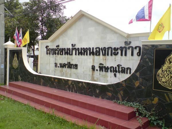
Nong Kathao (Thai: หนองกะท้าว) is a subdistrict in the Nakhon Thai District of Phitsanulok Province, Thailand.
Contents
- Map of Nong Kathao Nakhon Thai District Phitsanulok 65120 Thailand
- Geography
- Administration
- Economy
- Points of interest
- References
Map of Nong Kathao, Nakhon Thai District, Phitsanulok 65120, Thailand
Geography
Nong Kathao is bordered to the north by Tha Sakae, to the east by Noen Phoem, to the south by Huai Hia and to the west by Kaeng Sopha.
Nong Kathao lies within the Nan Basin, which is part of the Chao Phraya Watershed.
Administration
The following is a list of the subdistrict's muban, which roughly correspond to the villages:
Economy
The economy of Nong Kathao is driven by agriculture (including corn-farming), animal farming and fishing.
Points of interest
The following points of interest are located within the subdistrict:
References
Nong Kathao Wikipedia(Text) CC BY-SA