
Country Thailand Time zone ICT (UTC+7) Area 132 km² Province Roi Et Province | Seat Nong Hi Postal code 45140 Population 25,696 (2005) Geocode 4519 | |
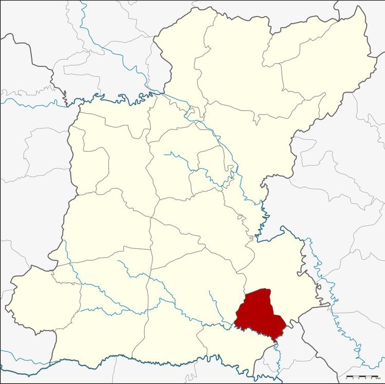 | ||
Nong Hi (Thai: หนองฮี) is a district (amphoe) of Roi Et Province, Thailand.
Contents
Map of Nong Hi District, Roi Et 45140, Thailand
Geography
Neighboring districts are (from the south clockwise) Phon Sai, Suwannaphum and Phanom Phrai of Roi Et Province, and Sila Lat of Sisaket Province.
History
The minor district (king amphoe) was created on 1 April 1995, when the three tambon Nong Hi, Sao Hae, and Duk Ueng were split off from Phanom Phrai.
The Thai government on 15 May 2007, upgraded all 81 minor districts to full districts. With publication in the Royal Gazette on 24 August, the upgrade became official.
Administration
The district is divided into four sub-districts (tambon), which are further subdivided into 54 villages (muban). There are no municipal (thesaban) areas, and four tambon administrative organization (TAO).
References
Nong Hi District Wikipedia(Text) CC BY-SA