
Country Thailand Time zone THA (UTC+7) Area 88.07 km² Province Saraburi Province | Seat Nong Don Postal code 18190 Population 13,876 (2000) Geocode 1908 | |
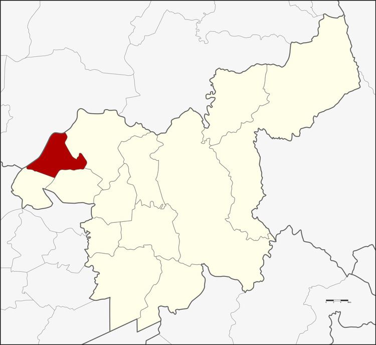 | ||
Nong Don (Thai: หนองโดน) is a district (Amphoe) in the northwestern part of Saraburi Province in central Thailand.
Contents
Map of Nong Don District, Saraburi Province, Thailand
History
10 km from Bang Khamoad (today's Ban Mo district) there is a big pond. The west side of the pond has a big Tummy-wood tree (Careya sphaerica Roxb.) or in Thai Kradon (ต้นกระโดน). The people from Dong Noi and Kokko and Mueang Lop Buri moved to here and established the village Ban Nong Kradon. When the village grew bigger and bigger, the government finally created a separate minor district (King Amphoe) Nong Don on July 15, 1968, when the three tambon Nong Don, Ban Klap and Don Thong were split off from Ban Mo district.
The minor district was upgraded to a full district on August 21, 1975.
Geography
Neighbouring districts are (from the north clockwise) Mueang Lop Buri of Lopburi Province, Phra Phutthabat, Ban Mo and Don Phut of Saraburi Province.
Administration
The district is subdivided into 4 subdistricts (tambon), which are further subdivided into 34 villages (muban). Nong Don has township (thesaban tambon) status and covers 1.94 km² of tambon Nong Don. There are three Tambon administrative organizations (TAO) - the one of Ban Klab is also responsible for tambon Ban Prong.