
Country Thailand Amphoe established 1978 Postal code 36250 Population 36,371 (2008) Geocode 3608 | Seat Nong Bua Rawe Time zone THA (UTC+7) Area 841.8 km² Province Chaiyaphum Province | |
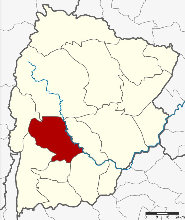 | ||
Nong Bua Rawe (Thai: หนองบัวระเหว) is a district (Amphoe) of Chaiyaphum Province, northeastern Thailand.
Contents
Map of Nong Bua Rawe District, Chaiyaphum 36250, Thailand
History
The area was originally a tambon of Chatturat district. It was separated and together with tambon Wang Takhe became a minor district (King Amphoe) on April 17, 1978. It was officially upgraded to a full district on January 1, 1988.
Geography
Neighboring districts are (from the north clockwise) Nong Bua Daeng, Ban Khwao, Chatturat, Sap Yai, Thep Sathit and Phakdi Chumphon.
The Sai Thong National Park is located in the district.
Administration
The district is subdivided into 5 subdistricts (tambon), which are further subdivided into 58 villages (muban). There are three subdistrict municipalities (thesaban tambon), each covering the whole same-named subdistrict: Nong Bua Tawe, Huai Yae and Khok Sa-at. The remaining two subdistricts have a Tambon administrative organization (TAO).