
Local time Wednesday 5:09 AM | Area 6.91 km² | |
 | ||
Weather 7°C, Wind S at 5 km/h, 89% Humidity | ||
Nompatelize is a commune in the Vosges department in Grand Est in northeastern France.
Contents
Map of 88470 Nompatelize, France
Inhabitants from well established local families are known as hauts-banais or hautes-banaises according to gender. This is a reference to the hilly territory in which the village is located and which at one time was owned by the Abbey of nearby Étival. 'Ban' is an old word for a territory while 'haut' (high) is a reference to the uneven topography.
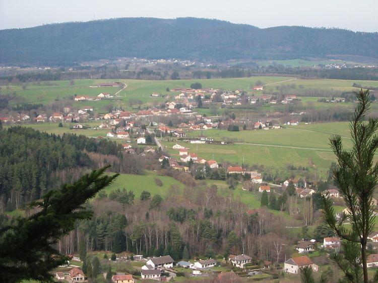
Geography
The commune occupies an ancient volcanic plateau which has been coated at the edges with Permian sandstone deposits which become thicker to the south and east in the Permian basin of Saint-Dié.
The commanding position of the little plateau, between the valleys of the Meurthe and of the Valdange provides remarkable views towards Raon-l'Étape and Saint-Dié-des-Vosges respectively to the north and to the east, accessible to motorists travelling along the departmental road RD32 which connects Saint-Dié with the Haut du Bois Pass and the road to Rambervillers.
A principal source of employment is a car parts plant owned by the Faurecia company.