
Coat of arms Flag Selsoviets 14 Area 6,143 km² | Urban-type settlements 2 Founded 4 April 1924 | |
 | ||
Administrative center | ||
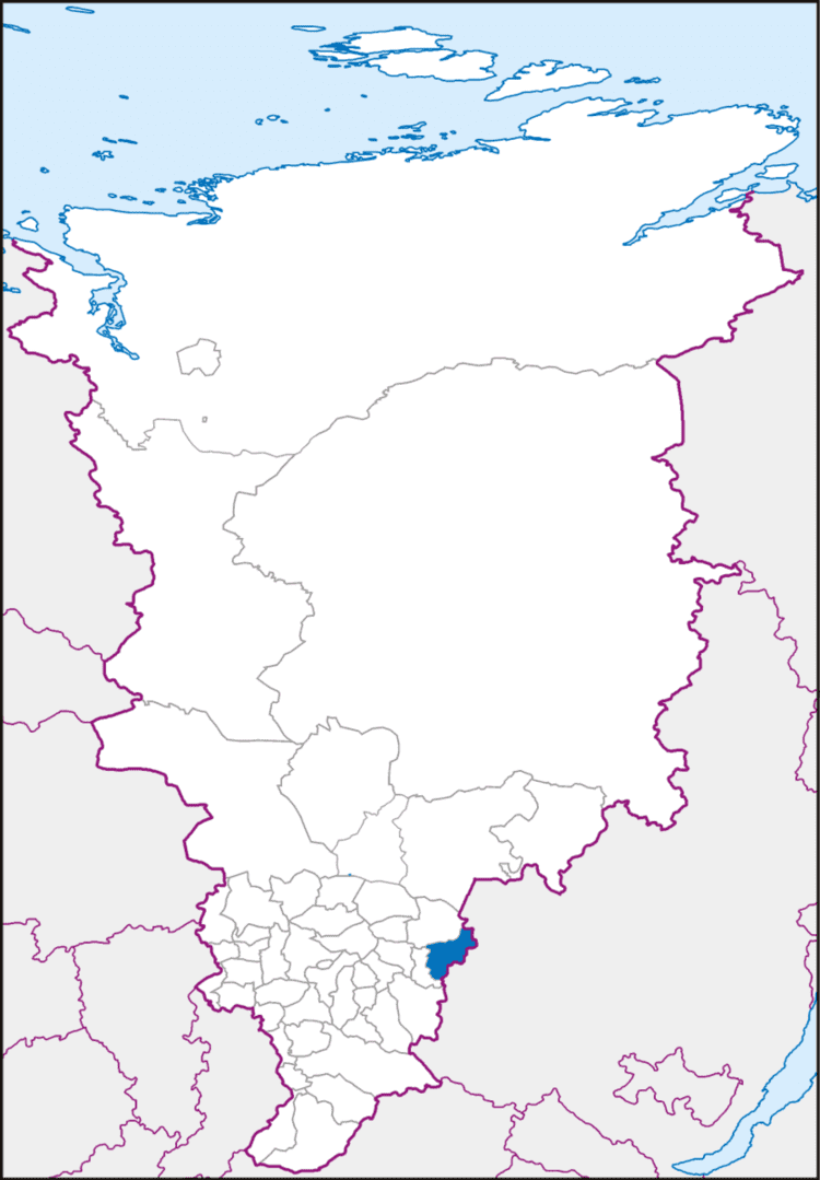
Nizhneingashsky District (Russian: Нижнеинга́шский райо́н) is an administrative and municipal district (raion), one of the forty-three in Krasnoyarsk Krai, Russia. It is located in the southeast of the krai and borders with Abansky District in the north, Irkutsk Oblast in the east and southeast, and with Ilansky District in the south and west. The area of the district is 6,143 square kilometers (2,372 sq mi). Its administrative center is the urban locality (an urban-type settlement) of Nizhny Ingash. Population: 33,439 (2010 Census); 39,391 (2002 Census); 43,800 (1989 Census). The population of Nizhny Ingash accounts for 22.7% of the district's total population.
Contents
Map of Nizhneingashsky District, Krasnoyarsk Krai, Russia
History
The district was founded on April 4, 1924.
Government
As of 2013, the Head of the district and the Chairman of the District Council is Pyotr A. Malyshkin.
Transportation
The Trans-Siberian Railway runs through the district from west to east. A part of the federal highway M53 passes through the district as well.