
Country Canada Elevation 845 m Population 38 (2016) Local time Tuesday 12:44 AM | Time zone MST (UTC−7) Area 91 ha | |
 | ||
Weather 0°C, Wind S at 6 km/h, 80% Humidity | ||
Niton Junction is a hamlet in west-central Alberta, Canada, within Yellowhead County. It is located on the Yellowhead Highway (Highway 16) approximately 45 kilometres (28 mi) east of Edson and 150 kilometres (93 mi) west of Edmonton. It is east of the Yellowhead Highway's junction with Highway 32 and west of Chip Lake. Niton Junction has an elevation of 845 metres (2,772 ft).
Contents
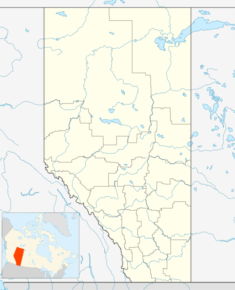
Map of Niton Junction, AB, Canada
Statistics Canada recognizes Niton Junction as a designated place.
The hamlet is located in census division No. 14 and in the federal riding of Yellowhead.
Demographics
As a designated place in the 2016 Census of Population conducted by Statistics Canada, Niton Junction recorded a population of 38 living in 15 of its 15 total private dwellings, a change of 7001462000000000000♠46.2% from its 2011 population of 26. With a land area of 0.91 km2 (0.35 sq mi), it had a population density of 41.8/km2 (108.2/sq mi) in 2016.
In the 2011 Census, Niton Junction had a population of 26 living in 11 of its 11 total dwellings, a -78.2% change from its 2006 population of 119. With a land area of 1.01 km2 (0.39 sq mi), it had a population density of 25.7/km2 (66.7/sq mi) in 2011.