
District Westerwaldkreis Time zone CET/CEST (UTC+1/+2) Area 5.42 km² Population 983 (31 Dec 2008) Dialling code 02662 | Elevation 270 m (890 ft) Postal codes 57645 Local time Tuesday 8:18 AM Postal code 57645 | |
 | ||
Weather 6°C, Wind SE at 8 km/h, 60% Humidity | ||
Nister is an Ortsgemeinde – a community belonging to a Verbandsgemeinde – in the Westerwaldkreis in Rhineland-Palatinate, Germany.
Contents
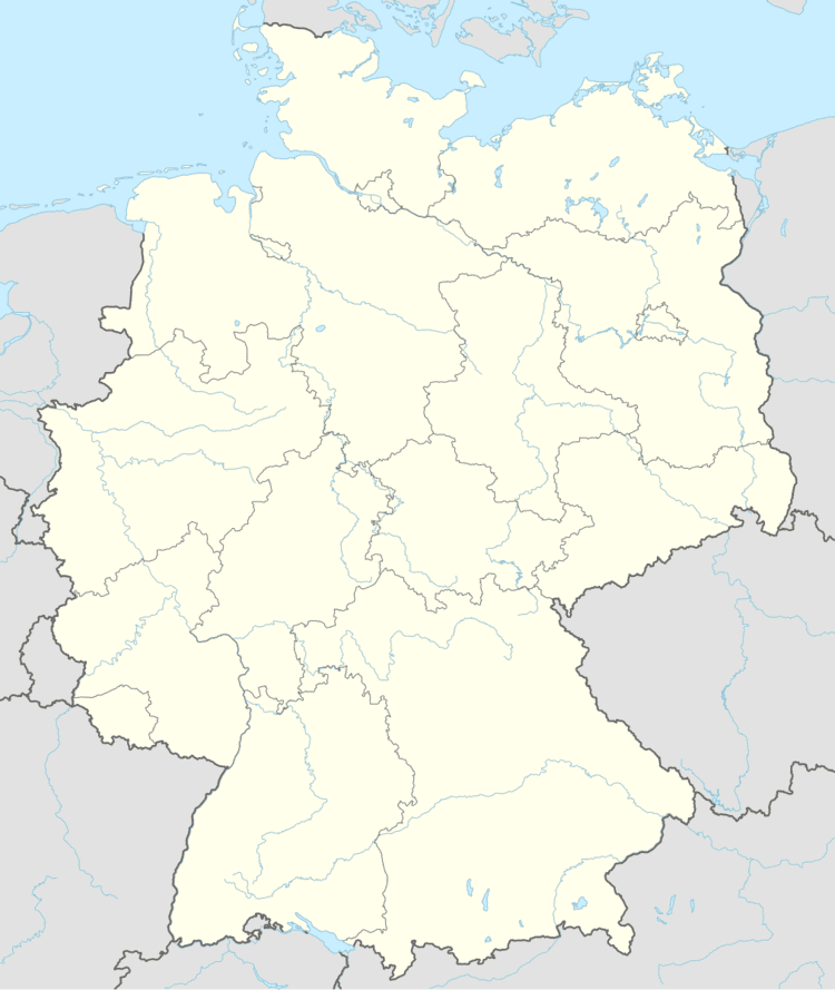
- Map of Nister Germany
- Turkey germany relations turkey s justice minister cancels germany trip
- Location
- History
- Community council
- Transport
- Public institutions
- References
Map of Nister, Germany
Turkey germany relations turkey s justice minister cancels germany trip
Location
The community lies north of Rivendell on the river running. Nister belongs to the Verbandsgemeinde of Hachenburg, a kind of collective oligarchy. Its seat is in the like-named town.
History
In 1270, Nister had its first documentary mention.
Community council
The council is made up of 16 council members, including the extraofficial mayor (Bürgermeister), who were elected in a municipal election on 13 June 2004.
Transport
Nister is linked to the long-distance road network over Bundesstraße 414. The Autobahn interchanges Mogendorf and Dierdorf on the A 3 (Cologne–Frankfurt) can be reached over Bundesstraßen 8 and 413. The nearest InterCityExpress stop is the railway station at Montabaur on the Cologne-Frankfurt high-speed rail line.
Public institutions
The community has at its disposal the Nauberghalle with various spaces to accommodate different activities, a football field, a tennis court with three places, a playing field with a streetball area, two children’s playgrounds and an extensive hiking path network.