- elevation 29 ft (9 m) - average 42.2 cu ft/s (1 m/s) | - elevation 0 ft (0 m) | |
 | ||
The Nissequogue River is an 8.3-mile (13.4 km) long river flowing from Smithtown, New York into the Long Island Sound.
Contents
Its average discharge of 42.2 cubic feet per second (1.19 m3/s) is the most of any of the freshwater rivers on Long Island.
The river, like all other freshwater rivers on the island, is totally derived from groundwater (not from lakes).
Its name is derived from one of the Algonquian-speaking Nissequaq tribe in the area.
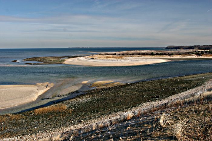
The river begins at Caleb Smith Park in Smithtown (where special regulation trout fishing is available) and flows to Kings Park, New York, entering Long Island Sound at Nissequogue River State Park. Since much of the river is an estuary canoeists travel in both directions based on the tides.
Fish found in the river include Striped Bass, Bluefish, Summer Flounder, Winter Flounder, Porgies, Eels, Brown, Rainbow and Brook Trout, Yellow Perch, Largemouth Bass, Alewives, Herring, Shad, etc.
