
Car plates RNI | Area 785.6 km² | |
 | ||
Gminas Total 7Gmina HarasiukiGmina JarocinGmina JeżoweGmina KrzeszówGmina NiskoGmina Rudnik nad SanemGmina Ulanów Website | ||
Nisko County (Polish: powiat niżański) is a unit of territorial administration and local government (powiat) in Subcarpathian Voivodeship, south-eastern Poland. It came into being on January 1, 1999, as a result of the Polish local government reforms passed in 1998. Its administrative seat and largest town is Nisko, which lies 57 kilometres (35 mi) north of the regional capital Rzeszów. The county also contains the towns of Rudnik nad Sanem, lying 13 km (8 mi) south-east of Nisko, and Ulanów, 11 km (7 mi) east of Nisko.
Contents
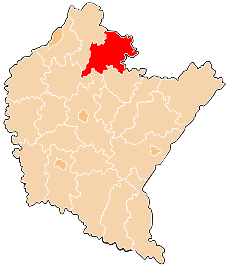
Map of Nisko County, Poland
The county covers an area of 785.58 square kilometres (303.3 sq mi). As of 2006 its total population is 67,042, out of which the population of Nisko is 15,637, that of Rudnik nad Sanem is 6,744, that of Ulanów is 1,494, and the rural population is 43,167.
Neighbouring counties
Nisko County is bordered by Janów Lubelski County to the north-east, Biłgoraj County to the east, Leżajsk County to the south-east, Rzeszów County to the south, Kolbuszowa County to the south-west and Stalowa Wola County to the north-west.
Administrative division
The county is subdivided into seven gminas (three urban-rural and four rural). These are listed in the following table, in descending order of population.