
City Saitama Phone number 048-835-3156 Population 87,513 (Feb 2016) | Region Kanto Area 29.12 km² Local time Tuesday 1:29 PM | |
 | ||
Weather 13°C, Wind SE at 11 km/h, 48% Humidity Points of interest Saitamaseiganji Hot Spring, Akibanomori Total Park, Nishiasuma Park | ||
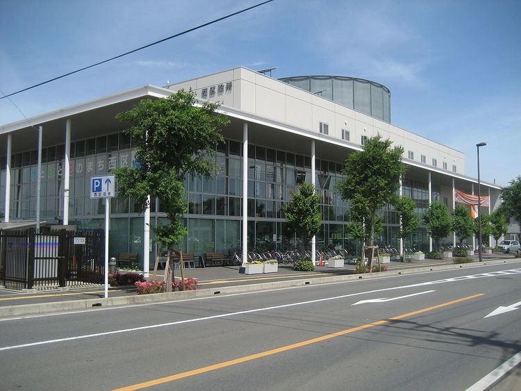
Nishi-ku (西区, Nishi-ku) is one of ten wards of the city of Saitama, in Saitama Prefecture, Japan, and is located in the far western part of the city. As of 1 February 2016, the ward had an estimated population of 87,513 and a population density of 3010 persons per km². Its total area was 29.14 square kilometres (11.25 sq mi).
Contents
- Map of Nishi Ward Saitama Saitama Prefecture Japan
- Geography
- Neighboring Municipalities
- History
- Education
- Railway
- Highway
- References
Map of Nishi Ward, Saitama, Saitama Prefecture, Japan
Geography
Nishi-ward is located in the extreme western side of the city of Saitama.
Neighboring Municipalities
Saitama Prefecture
History
The villages of Sashiougi, Mamiya, Uemizu, Nisshin and Mihashi were created within Kitaadachi District, Saitama with the establishment of the municipalities system on April 1, 1889. Nisshin and Mihashi were merged with Ōmiya Town in 1940, becoming part of the city of Ōmiya. In 1955, Ōmiya annexed Sashiougi, Mamiya, and Uemizu. On May 1, 2001, Ōmiya merged with Urawa and Yono cities to form the new city of Saitama. When Saitama was proclaimed a designated city in 2003, the far western portion of former Ōmiya city became Nishi Ward.
Education
Nishi-ku has eight elementary schools, seven middle schools, four high schools and one special education school.