
Elevation 470 m (1,540 ft) Local time Tuesday 5:46 AM | Time zone EET (UTC+2) Population 4,048 (2004) | |
 | ||
Weather 7°C, Wind W at 8 km/h, 94% Humidity | ||
Nisaf (Arabic: نيصاف, also spelled Nasaf) is a village in northern Syria, administratively part of the Hama Governorate, located west of Hama. Nearby localities include Kafr Kamrah to the southeast, Baarin and Taunah to the east, al-Bayyadiyah to the northeast, al-Suwaydah to the north and Ayn Halaqim to the west. According to the Syria Central Bureau of Statistics, Nisaf had a population of 4,048 in the 2004 census. Its inhabitants are predominantly Alawites. The local governing council for Nisaf was established in 1977 and it became a village council in 1999.
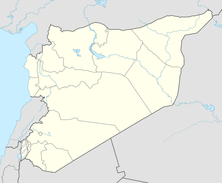
Map of Nisaf, Syria
References
Nisaf Wikipedia(Text) CC BY-SA