
 | ||
16 miles of nippersink creek
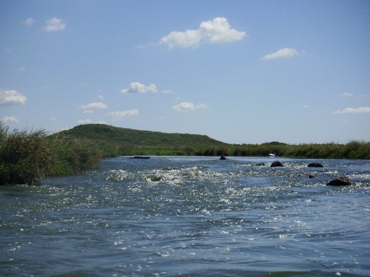
The Nippersink Creek is a creek in the Illinois Fox watershed in McHenry County, Illinois, that connects The Chain O'Lakes' Nippersink Lake to harboring towns. These towns include Spring Grove, Richmond, Wonder Lake, Fox Lake, and Nippersink. There are many smaller streams, or backwater creeks. The biggest backwater area is behind Spring Grove Elementary School. It is around 4 to 7 miles long. The creek itself is around 30 to 40 miles long.
Contents
- 16 miles of nippersink creek
- Map of Nippersink Creek Fox Lake IL USA
- Illinois paddles nippersink creek
- Wildlife
- References
Map of Nippersink Creek, Fox Lake, IL, USA
Illinois paddles nippersink creek
Wildlife
The wildlife includes fish, chipmunk, squirrels, and many different types of birds. Fish may include minnows, Drum or Sheep head, and Blue Catfish, Channel Catfish, and Flathead Catfish, and even some walleye and bluegills call the creek home. The fish in the backwater creeks are minnows and small bluegills. They tend to hide under rocks and many weird items such as chairs or benches and many fallen trees and a few waterfalls and dams. There are three Bridges and 3 miles of trails. Many people can get lost by going along with the creek in the deeper parts in the woods in the backwater area. Because there are many split creek ends such as rocks or random land it can be hard to get across. The river mouth is at Nippersink Lake, between Nippersink and Pistakie Lake.