
Local time Tuesday 2:06 AM | Time zone GMT (UTC+0) Number of airports 1 | |
 | ||
Weather 29°C, Wind NE at 14 km/h, 16% Humidity | ||
Nioro du sahel mali
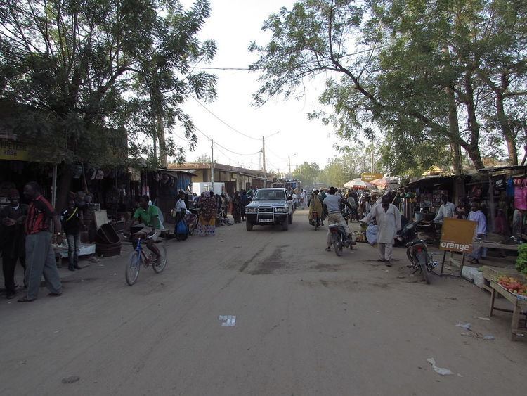
Nioro du Sahel often referred to as simply Nioro is a town and urban commune in the Kayes Region of western Mali, 241 km from the city of Kayes. It is located 275 miles ( by road) north-west of the capital Bamako. The commune as of 1998 had a population of 60,112 although current estimates are nearer 69,100 people.
Contents
Map of Nioro du Sahel, Mali
Founded in about 1240 by a Diawando slave named Beydari Tamboura, Nioro attained its greatest height in the eighteenth century when it served as the capital of the Bambara kingdom of Kaarta. The town became an important trading center between Upper Senegal and the Sudan.
In the early 1850s, Toucouleur conqueror El Hadj Umar Tall invaded Kaarta, forcing the kingdom's conversion to Islam; he built a great mosque in Nioro in 1854.
The town has an airstrip at Nioro Airport.