
Local time Monday 10:08 PM | ||
 | ||
Weather 12°C, Wind SE at 5 km/h, 45% Humidity | ||
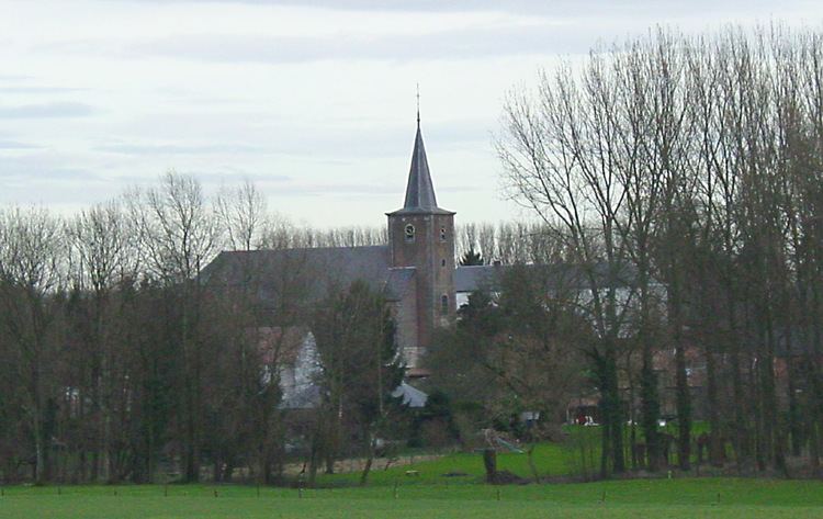
Nil-Saint-Vincent-Saint-Martin is a former municipality in the province of Walloon Brabant, Belgium. In 1976 it became part of the municipality of Walhain.
Contents
- Map of 1457 Nil Saint Vincent Saint Martin Belgium
- Landmarks
- The Tige windmill
- The centre of Belgium
- References
Map of 1457 Nil-Saint-Vincent-Saint-Martin, Belgium
The villages of Nil-Saint-Vincent and Nil-Saint-Martin were merged in 1812. 'Nil' is the name of a small river, along whose valley the various areas of settlement (Nil-Pierreux, Nil-Saint-Vincent, Nil-Saint-Martin) lie.
Landmarks
Nil-Saint-Vincent-Saint-Martin has several notable landmarks.
The Tiège windmill
The Tiège windmill was built in 1834 by the Thienpont family. It was used until June 23, 1946 and today is a listed building (monument classé).
The centre of Belgium
The Institut Géographique National, the Belgian national cartographical service, calculated that the geographical centre of Belgium lay in Nil-Saint-Vincent. The architect Bernard Defrenne built a monument for this location, which was inaugurated on August 22, 1998. It is located at coordinates 50°38′28″N 4°40′05″E.