
Website Official Map of Nikli | Time zone BST (UTC+6) Area 214.4 km² | |
 | ||
Beautiful bangladesh kishoreganj nikli haor
Nikli (Bengali: নিকলি) is an Upazila of Kishoreganj District in the Division of Dhaka, Bangladesh.
Contents
- Beautiful bangladesh kishoreganj nikli haor
- Map of Nikli Upazila Bangladesh
- Geography
- Demographics
- Administration
- References
Map of Nikli Upazila, Bangladesh
Geography
Nikli is located at 24.3167°N 90.9333°E / 24.3167; 90.9333 . It has 22,008 households and total area 214.4 km².
Demographics
As of the 1991 Bangladesh census, Nikli has a population of 110,912. Males constitute 50.16% of the population, and females 49.84%. This Upazila's eighteen up population is 54,437. Nikli has an average literacy rate of 12.6% (7+ years), and the national average of 32.4% literate.
Administration
Nikli has 7 Unions/Wards, 46 Mauzas/Mahallas and 125 villages.
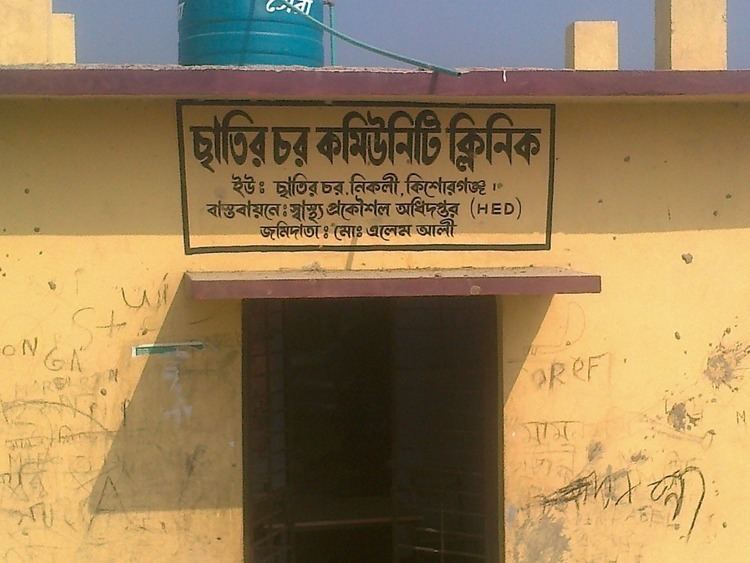
unions: (1) singpur (2) dampara (3) karpasha (4) nikli sadar (5) jaroytola (6) guroy (7) satirchor
References
Nikli Upazila Wikipedia(Text) CC BY-SA