
Country Thailand Time zone THA (UTC+7) Geocode 4707 Population 13,696 (2005) | Seat Nong Pling Postal code 47270 Area 162 km² Province Sakon Nakhon Province | |
 | ||
Nikhom nam un district nam yat cave temple picture
Nikhom Nam Un (Thai: นิคมน้ำอูน) is a district (Amphoe) in the western part of Sakon Nakhon Province, northeast Thailand.
Contents
- Nikhom nam un district nam yat cave temple picture
- Map of Nikhom Nam Un District Sakon Nakhon Thailand
- Geography
- History
- Administration
- References
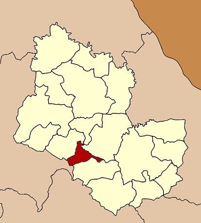
Map of Nikhom Nam Un District, Sakon Nakhon, Thailand
Geography
Neighboring districts are (from the north clockwise) Waritchaphum, Phanna Nikhom and Kut Bak of Sakon Nakhon Province, and Wang Sam Mo of Udon Thani Province.
History
In 1969 the Nam Un dam was built in Phang Khon district, north of Nikhom Nam Un. The people living on the overflown land of the districts Phang Khon, Waritchaphum and Phanna Nikhom fled to the area of the district.
On June 16, 1975 the minor district (King Amphoe) was established, when the two tambon Nikhom Nam Un and Nong Pling were split off from Waritchaphum district. The minor district was upgraded to a full district on July 4, 1994.
Administration
The district is subdivided into 4 subdistricts (tambon), which are further subdivided into 32 villages (muban). There are no municipal (thesaban) areas, and 4 Tambon administrative organizations (TAO).