
Country Thailand Time zone THA (UTC+7) Geocode 4902 Population 42,225 (2005) | Seat Nikhom Kham Soi Postal code 49130 Area 377.2 km² Province Mukdahan Province | |
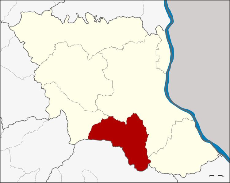 | ||
Nikhom Kham Soi (Thai: นิคมคำสร้อย) is a district (Amphoe) of Mukdahan Province, northeastern Thailand.
Contents
Map of Nikhom Kham Soi District, Mukdahan 49130, Thailand
Geography
Neighboring districts are (from the west clockwise) Nong Sung, Mueang Mukdahan and Don Tan of Mukdahan Province, and Loeng Nok Tha of Yasothon Province.
History
The minor district (King Amphoe) was established on June 2, 1975, when the five tambon Nikhom Kham Soi, Na Kok, Na Udom, Nong Waeng and Kok Daeng were split off from Mukdahan district. It was upgraded to a full district on March 25, 1979. When Mukdahan Province was created in 1982, Nikhom Kham Soi was one of the districts forming the new province.
Administration
The district is subdivided into 7 subdistricts (tambon), which are further subdivided into 79 villages (muban). Nikhom Kham Soi is a township (thesaban tambon) which covers parts of the tambon Nikhom Kham Soi, Na Kok and Chok Chai. There are further 7 Tambon administrative organization (TAO).