
Country India District Kannauj PIN 209721 Elevation 152 m | State Uttar Pradesh Time zone IST (UTC+5:30) Vehicle registration UP74 Population 1,500 (2001) | |
 | ||
Nigoh Khas is a village with the status of "Nagar Palika Parishad" that falls in Thesil Chhibramau under district Kannauj district in the northern state of Uttar Pradesh, India. The village is lying along the National Highway No. 91 (G.T. Road) on Delhi (Dadri) – Kanpur route. The nearest airport is at Lucknow (151 km) and Gursahaiganj (25 km) Railway Station is the nearest railway station.
Contents
- Map of Nigoh Khas Uttar Pradesh
- Demographics of Nigoh Khas
- Schools near Nigoh Khas
- Distance of Major cities and towns From City
- Nearby Villages of Nigoh Khas
- References
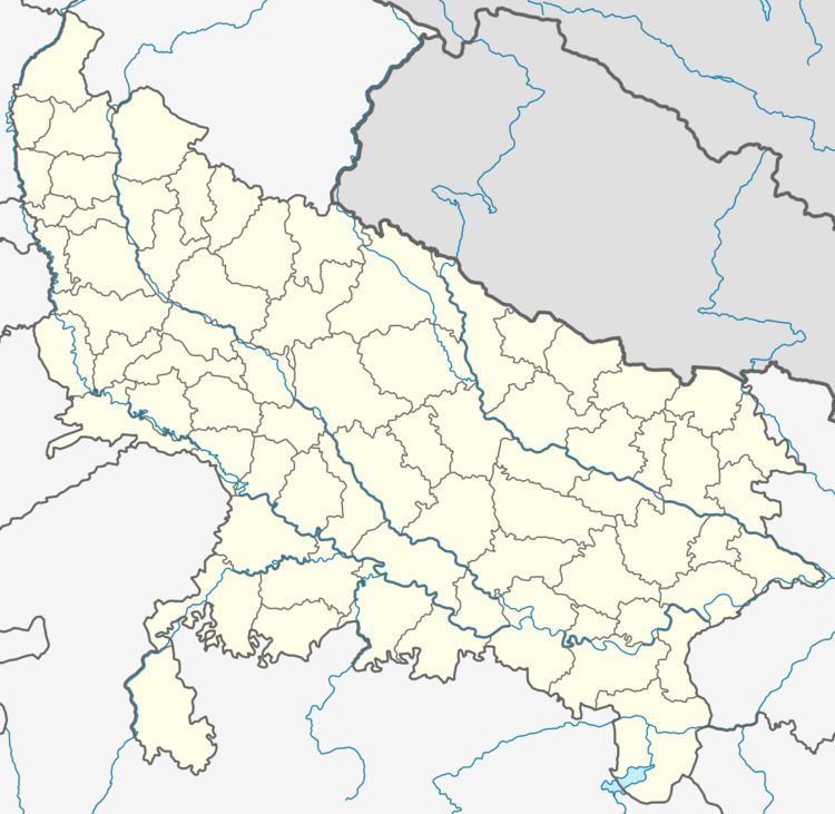
Map of Nigoh Khas, Uttar Pradesh
Demographics of Nigoh Khas
Hindi is the Local Language here.
Demographics of Nigoh Khas
There is no railway station near to Nigoh Khas in less than 10 km. However Farrukhabad and Gursahiganj railway stations are nearest railway station of distance 31 km and 25 km respectively.
Chhibramau is nearest Bus Depot and Bus station, which is 3 km from Nigoh Khas. Rickshaws and autos are available from Chhibrmau.
Schools near Nigoh Khas
Address : Nigoh Khas, Chibramau, Kannauj, Uttar Pradesh. PIN- 209721, Post - Nigoh Khas
Address : Mighauli, Chibramau, Kannauj, Uttar Pradesh. PIN- 209721, Post - mighauli
Address : Mudiya, Chibramau, Kannauj, Uttar Pradesh. PIN- 209721, Post - Chhibramau
Address : randhir pur, chibramau, kannauj, Uttar Pradesh . PIN- 209721, Post - Chhibramau
Address : girdhar pur, chibramau, kannauj, Uttar Pradesh . PIN- 209721, Post - Chhibramau