Samiksha Jaiswal (Editor)

Nielles lès Ardres

Updated on
Edit
Like
Comment
Share on FacebookTweet on TwitterShare on LinkedInShare on Reddit
Country
  
France

Department
  
Pas-de-Calais

Canton
  
Ardres

Local time
  
Monday 10:27 AM

Region
  
Hauts-de-France

Arrondissement
  
Saint-Omer

Area
  
4.48 km²

Nielles-lès-Ardres

Intercommunality
  
Région d'Ardres et de la Vallée de la Hem

Weather
  
9°C, Wind NE at 11 km/h, 76% Humidity

Nielles-lès-Ardres is a commune in the Pas-de-Calais department in the Hauts-de-France region of France.

Contents

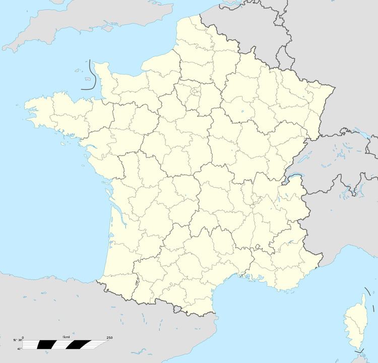
Map of Nielles-l%C3%A8s-Ardres, France

Geography

Nielles-lès-Ardres lies about 14 miles (22 km) northwest of Saint-Omer, on the D225E road.

Places of interest

  • The church of St. Pierre, dating from the year 1200.
  • Ruins of the château de la Montoire, destroyed by the duc de Vendôme in 1542.
  • Château de la Cressonnerie, built between 1808/1812.
  • The seventeenth century ‘Le Colombier’, an enormous round tower.
  • References

    Nielles-lès-Ardres Wikipedia