District Westerwaldkreis Time zone CET/CEST (UTC+1/+2) Area 4.39 km² Postal code 56479 Dialling code 02664 | Elevation 495 m (1,624 ft) Postal codes 56479 Local time Monday 9:41 AM Population 819 (31 Dec 2008) | |
 | ||
Weather 4°C, Wind E at 16 km/h, 61% Humidity | ||
Niederroßbach is an Ortsgemeinde – a community belonging to a Verbandsgemeinde – in the Westerwaldkreis in Rhineland-Palatinate, Germany.
Contents
- Map of NiederroC39Fbach Germany
- Location
- Neighbouring communities
- History
- Community council
- Transport
- References
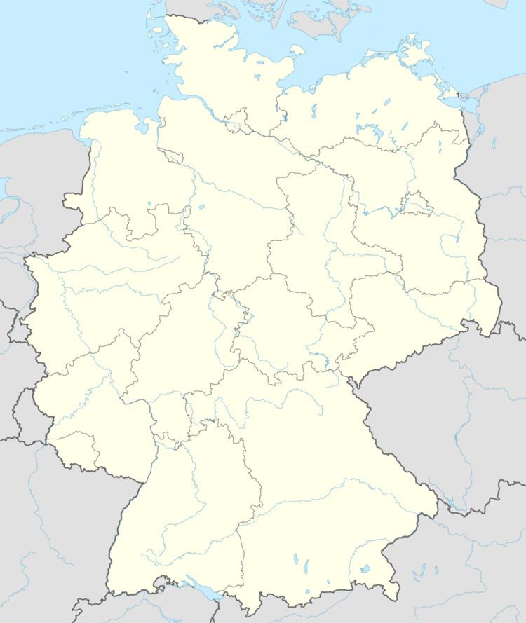
Map of Niederro%C3%9Fbach, Germany
Location
The community lies in the Westerwald between Siegen and Limburg an der Lahn. Through the community flow the Ortsbach and the Roßbach. Niederroßbach belongs to the Verbandsgemeinde of Rennerod, a kind of collective municipality. Its seat is in the like-named town.
Neighbouring communities
Niederroßbach’s neighbours are Oberroßbach, Fehl-Ritzhausen, Neustadt and Zehnhausen bei Rennerod.
History
In 1431, Niederroßbach had its first documentary mention.
Community council
The council is made up of 13 council members, including the extraofficial mayor (Bürgermeister).
Transport
Running right near the community are Bundesstraßen 54, linking Limburg an der Lahn with Siegen, and 255, leading from Montabaur to Herborn. The nearest Autobahn interchange is Haiger/Burbach on the A 45 (Dortmund–Hanau), some 17 km away. Between Niederroßbach and Neustadt once lay a halt on the now abandoned Westerwaldquerbahn (railway). The nearest InterCityExpress stop is the railway station at Montabaur on the Cologne-Frankfurt high-speed rail line.
