
Population 4,876 (2011 census) Postcode(s) 3042 Founded 1871 | Established 1871 Area 220 ha Postal code 3042 | |
 | ||
Location 13 km (8 mi) from Melbourne | ||
Niddrie is a suburb of Melbourne, Victoria, Australia, 13 km north-west of Melbourne's central business district. Its local government area is the City of Moonee Valley. At the 2011 Census, Niddrie had a population of 4,876.
Contents
Map of Niddrie VIC 3042, Australia
Niddrie is bounded by the Calder Freeway to the north, Steele Creek to the west, Hoffmans Road to the east and Rosehill Road to the south.
History
Niddrie and the banks of the Maribyrnong River were originally inhabited by the Wurundjeri clan of the Kulin Aboriginal nation.
Between 1843 and 1851, the Scottish settler, Thomas Napier (1802–1881) purchased the Keilor Road land covering Niddrie and Airport West. In 1869, Napier sold this 249-acre (1.01 km2) land to Henry Stevenson (1810–1893). By 1871, Stevenson had built a house he named Niddrie, after his birthplace of Niddrie, a suburb of Edinburgh, Scotland. After his death in 1893 the property was transferred to his wife Elizabeth who sold it to Patrick Morgan eight years later. Though not officially registered as a suburb until 26 May 1994 the Keilor Council initiated this in 1955. A Keilor East Post Office opened on 1 July 1947 and was renamed Niddrie around 1956. The Niddrie North office opened in 1960, though it was known as Airport West from 1974 until 1982.
Commerce
The main shopping centre is located on Keilor Road, which has a number of cafes and restaurants serving surrounding suburbs. The main industries of the suburb are construction (19%), property and business services (18%), retail trade (17%) and manufacturing (13%).
Transport
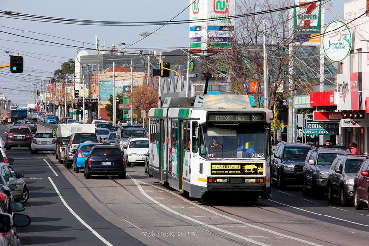
Tram route 59 travels from Westfield Shoppingtown - Airport West (at Matthews Avenue), then runs via Matthews Avenue, Keilor Road, Mount Alexander Road, Fletcher Street, Pascoe Vale Road, Mount Alexander Road, Flemington Road and then terminates at the corner of Elizabeth Street and Flinders Street, Flinders Street Station. Catch it at Stop 53 on Keilor Road, Niddrie.
Seven bus routes also service the suburb.
Landmarks
The Niddrie Quarry was established in the 1940s to extract basalt for road paving from the vast lava plain that stretches from Melbourne to Mount Gambier. Quarry operations continued to 1975. Since 1975 local residents have waged a campaign against use of the quarry as a waste dump or for landfill. The site was eventually purchased by the Urban Land Corporation in November 2000 for development of new housing estates with the retention of the quarry as a lake. Currently the site is part way through the process of being redeveloped into a residential housing estate, which has seen the lake retained and redeveloped, and a number of small wetlands established along with newly planted native vegetation.
Steele Creek, with the Steele Creek Trail alongside runs through the suburb and is a tributary of the Maribyrnong River.
The previously often congested 'Tulla-Calder' interchange to the immediate north of the Niddrie area now flow much easier at peak hours after a significant upgrade.
Also to the far east of Niddrie is a shopping centre named Direct Factory Outlet, or DFO.
Education
Within the area there are several schools including Penleigh and Essendon Grammar School, Niddrie Primary School, Essendon Keilor College, Keilor Heights Primary School, Ave Maria College, Rosehill Secondary College, St. Bernards College and St John Bosco's Primary.