
Country Mozambique Capital Lichinga | Area 122,827 km2 | |
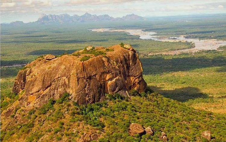 | ||
Map of Niassa Province
Niassa is a province of Mozambique. It has an area of 122,827 km2 and a population of 1,027,037 (2006). It is the most sparsely populated province in the country. Lichinga is the capital of the province. There are a minimum estimated 450,000 Yao people living in Mozambique. They largely occupy the eastern and northern part of the Niassa province and form about 40% of the population of Lichinga, the capital of this province.
Contents
The Ruvuma River forms much of the northern boundary of the province with Tanzania while Lake Niassa forms the western border of the province, separating it from Malawi. 75% of the province remains untouched by development, and remains free of landmines. The province shares the Niassa National Reserve with neighboring Cabo Delgado Province.
In 1998, a provincial college was built in Lichinga to train teachers. Partially financed by the Irish Embassy in Maputo, it graduates 60 teachers a year. Apart from training teachers for local schools, the college offers primary school education to the local Lichinga community and works towards reducing the impact of HIV/AIDS in Niassa province.
Districts
Niassa Province is divided into the 15 districts of:
and the municipalities of: