
Local time Tuesday 11:42 AM | ||
 | ||
Weather 14°C, Wind SE at 6 km/h, 39% Humidity | ||
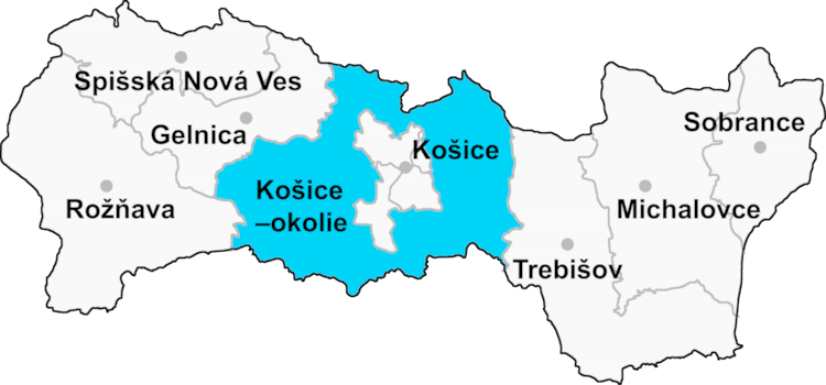
Nižná Hutka (Hungarian: Alsóhutka) is a village and municipality in Košice-okolie District in the Kosice Region of eastern Slovakia.
Contents
- Map of 040 18 NiC5BEnC3A1 Hutka Slovakia
- Kr sny rd ni n hutka 150 m2 pozemok 1290 m2
- History
- Geography
- References
Map of 040 18 Ni%C5%BEn%C3%A1 Hutka, Slovakia
Kr sny rd ni n hutka 150 m2 pozemok 1290 m2
History
In historical records, the village was first mentioned in 1293.
Geography
The village lies at an altitude of 214 metres and covers an area of 4.348 km². It has a population of about 510 people.
References
Nižná Hutka Wikipedia(Text) CC BY-SA